Mottsville, Nevada facts for kids
Quick facts for kids
Mottsville, Nevada
|
|
|---|---|

Mottsville, viewed from SR 207
|
|
| Country | United States |
| State | Nevada |
| County | Douglas |
| Elevation | 4,777 ft (1,456 m) |
| Time zone | UTC-8 (Pacific (PST)) |
| • Summer (DST) | UTC-7 (PDT) |
| Area code(s) | 775 |
| Nevada Historical Marker | 121 |
| GNIS feature ID | 860656 |
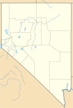
Mottsville is an unincorporated community within the Humboldt–Toiyabe National Forest on the western edge of the Carson Valley in northwestern Douglas County, Nevada, United States. Mottsville is located at the junction of Nevada State Route 206 and Nevada State Route 207 3 miles (4.8 km) west-southwest of Minden.
History
Settlement on the Emigrant Trail where Hiram Mott and son Israel settled in 1851

All content from Kiddle encyclopedia articles (including the article images and facts) can be freely used under Attribution-ShareAlike license, unless stated otherwise. Cite this article:
Mottsville, Nevada Facts for Kids. Kiddle Encyclopedia.


