Merrill Mountain facts for kids
Quick facts for kids Merrill Mountain |
|
|---|---|

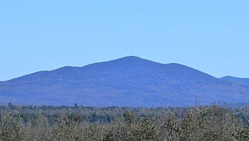
View of Merrill Mountain from Chemin de la Rivière-Bergeron, at Piopolis, Quebec, to the west
|
|
| Highest point | |
| Elevation | 997 m (3,271 ft) |
| Parent peak | White Mountains (Appalachian Mountains) |
| Geography | |
| Location | Estrie Franklin County |
| Country | Canada États-Unis |
| Province U.S. state |
Québec Maine |
| Region | Region County |
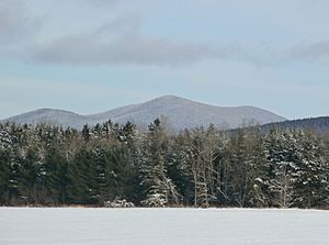
Merrill Mountain (in French: Montagne Merrill) is a mountain on the border between the Canadian province of Quebec, in the region of Estrie, and the U.S. state of Maine, which is part of the Appalachian Mountains; its altitude is 997 m (3,271 ft).
Geography
The mountain, located in the municipality of Frontenac, on the zec Louise-Gosford east of lac aux Araignées, is crossed by the Canada–United States border.
Toponymy
The toponym "Montagne Merrill" was formalized on November 7, 1985 by the Commission de toponymie du Québec.

All content from Kiddle encyclopedia articles (including the article images and facts) can be freely used under Attribution-ShareAlike license, unless stated otherwise. Cite this article:
Merrill Mountain Facts for Kids. Kiddle Encyclopedia.

