McLaughlin Creek (Thompson Creek tributary) facts for kids
Quick facts for kids McLaughlin Creek |
|
|---|---|
| Other name(s) | Tributary to Thompson Creek |
| Country | United States |
| State | Pennsylvania |
| County | Crawford |
| City | Hydetown |
| Physical characteristics | |
| Main source | divide between East Branch of Oil Creek and Thompson Creek Buell Corners, Pennsylvania 1,710 ft (520 m) 41°45′11″N 079°40′55″W / 41.75306°N 79.68194°W |
| River mouth | about 0.5 miles upstream on Thompson Creek from Hydetown, Pennsylvania Hydetown, Pennsylvania 1,270 ft (390 m) 41°39′31″N 079°42′50″W / 41.65861°N 79.71389°W |
| Length | 8.0 mi (12.9 km) |
| Basin features | |
| Progression | south-southwest |
| River system | Allegheny River (Oil Creek) |
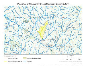
| Basin size | 9.79 square miles (25.4 km2) |
| Tributaries |
|
| Bridges | PA 89, Stewart Road, Mageetown Road, Fink Road, Gilson Ridge Road, Bog Hollow Road, Thompson Run Road |
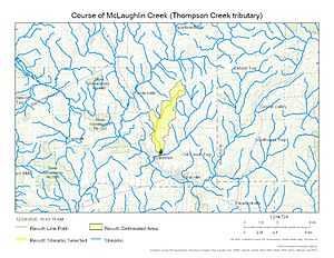
McLaughlin Creek is a 8.0 mi (12.9 km) stream that rises in a swampy area to the south of Buell Corners on the divide between Thompson Creek and East Branch of Oil Creek in Crawford County, Pennsylvania.
Variant names
According to the Geographic Names Information System, it has also been known historically as:
- Little Oil Creek
Course
McLaughlin Creek flows west from the swamp underneath PA 89 and then southwest around Fink and Gilson Ridges. Once around the ridges, it turns south and rapidly falls through Bog Hollow to meet Thompson Creek at the bottom. Bog Hollow marks the terminal moraine for glaciation.
Additional Maps

All content from Kiddle encyclopedia articles (including the article images and facts) can be freely used under Attribution-ShareAlike license, unless stated otherwise. Cite this article:
McLaughlin Creek (Thompson Creek tributary) Facts for Kids. Kiddle Encyclopedia.


