Mamer facts for kids
Quick facts for kids
Mamer
Mamer
|
||
|---|---|---|
|
||
|
||
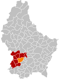
Map showing, in orange, the Mamer commune
|
||
| Country | ||
| Canton | Capellen | |
| Commune | Mamer | |
| Area | ||
| • Total | 27.5 km2 (10.6 sq mi) | |
| Highest elevation | 353 m (1,158 ft) | |
| Lowest elevation | 263 m (863 ft) | |
| Population
(2016)
|
||
| • Total | 8,695 | |
| • Density | 316.2/km2 (818.9/sq mi) | |
| Time zone | UTC+1 (CET) | |
| • Summer (DST) | UTC+2 (CEST) | |
| LAU2 | LU00009009 | |
| Website | Official website: http://www.mamer.lu/ | |
Mamer is a commune and small town in the Capellen canton, south-western Luxembourg. It is at 7 km (4.3 mi) west of Luxembourg City.
Contents
History
The Treveri, a Gallic or Celtic tribe, inhabited the region for several hundred years until they were conquered by Julius Caesar in 54 BC. A Celtic necropolis from the 1st century was discovered in the early 1970s on the Juckelsboesch plateau between Mamer and Kehlen.
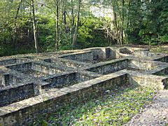
During the Gallo-Roman era which lasted until about 450, the Romans built and maintained a number of roads in the area including the Kiem (Latin caminus, road) linking Trier to Reims through what is now Mamer. Mambra was a small Roman settlement on the banks of the Mamer river at the eastern end of today's Mamer. The Roman settlement was burnt by Germanic invaders around 276.
The road linking Luxembourg City to Brussels, passing through Mamer, was built in 1790. In 1859, the railway to Brussels was opened, with a station in Mamer.
Geography
Mamer is in the south-west of the country, on the Mamer river, a tributary of the Alzette river.
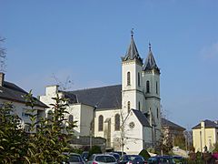
The commune has an area of 27.5 km2 (10.6 sq mi). The altitude is 263–353 m (863–1,158 ft) high. At the church, the altitude is 297 m (974 ft) high; the highest point in the commune is Juckelbösch that is 353 m (1,158 ft).
Mamer is surrounded by seven communes of Luxembourg: Koerich and Kehlen to the north, Strassen to the east, Bertrange to the southeast, Dippach to the southwest, Garnich to the west and Steinfort to the northwest. The communes Strassen and Bertrange are part of the Luxembourg canton but the rest are part of the Capellen canton.
 |
Steinfort | Koerich, Kehlen |  |
|
| Garnich | Strassen | |||
| Dippach | Bertrange |
Population
As of 1 January 2016[update], there are 8,695 persons living in the commune, for a population density of 316.2 inhabitants/km².
Other towns, besides the town of Mamer, within the commune are Capellen and Holzem.
People from Mamer
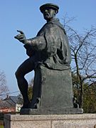
- Nicolaus Mameranus (1500–1567), soldier and historian under Emperor Charles V.
- Nicolas Frantz (1889–1985), cyclist, who won the Tour de France in 1927 and 1928.
- Josy Barthel (1927–1992), athlete, who won the 1500 m gold medal at the 1952 Olympics in Helsinki.
Twinned and partner towns
Mamer is twinned withː
 Dangé Saint-Romain, France
Gallery
-
Statue of Nicolaus Mameranus
-
Ruins of the Gallo-Roman baths
-
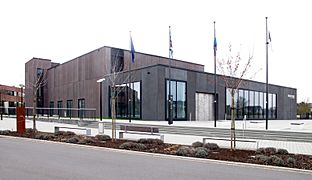
Cultural center Kinneksbond in Mamer
Related pages
Images for kids


