Mackenzie River facts for kids
Quick facts for kids Mackenzie River |
|
|---|---|
 |
|
| Physical characteristics | |
| River mouth | Arctic Ocean |
| Length | 1,738 km (1,080 mi) |
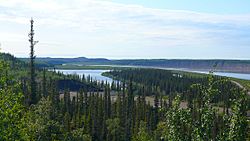
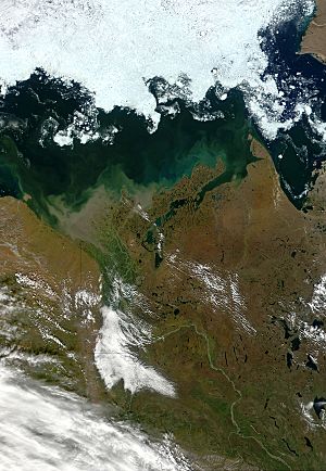
The Mackenzie River is a major river in northern Canada. It is named after famous explorer, Alexander Mackenzie. The river's watershed drains parts of Alberta, British Columbia, the Northwest Territories, Saskatchewan, and the Yukon. It flows north, for 1,738 kilometres (1,080 mi), from Great Slave Lake to the Arctic Ocean. There are only a few small towns on the river, including Fort Providence and Norman Wells. The river is used as a boat transport route during the ice-free summer.
Tributaries of the river include the Liard, Keele, Great Bear, Arctic Red and Peel Rivers. The Slave River, Peace River and Athabasca River provide most of the water in Great Slave Lake.
Images for kids
-
Dene fishing camp on the Mackenzie River, north of the Arctic Circle
-
Lakes and black spruce forest in the Mackenzie Delta
-
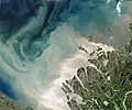
The Mackenzie River enters the Beaufort Sea, July 2017. About 7 percent of the fresh water that flows into the Arctic Ocean each year comes out the Mackenzie and its delta, and much of that comes in large pulses in June and July after the freshet—when inland ice and snow melts and floods the river.
-
A frozen Mackenzie River at Fort Good Hope, March 2007
-
Mackenzie River at Fort Simpson, at the confluence of the Liard River
See also
 In Spanish: Río Mackenzie para niños


