Littenseradiel facts for kids
Quick facts for kids
Littenseradiel
Littenseradeel
|
|||
|---|---|---|---|

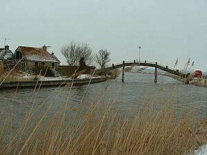
Canal through Wjelsryp
|
|||
|
|||

Location in Friesland
|
|||
| Country | Netherlands | ||
| Province | Friesland | ||
| Established | 1 January 1984 | ||
| Government | |||
| • Body | Municipal council | ||
| Area | |||
| • Total | 132.64 km2 (51.21 sq mi) | ||
| • Land | 130.75 km2 (50.48 sq mi) | ||
| • Water | 1.89 km2 (0.73 sq mi) | ||
| Elevation | 1 m (3 ft) | ||
| Population
(May 2014)
|
|||
| • Total | 10,900 | ||
| • Density | 83/km2 (210/sq mi) | ||
| Time zone | UTC+1 (CET) | ||
| • Summer (DST) | UTC+2 (CEST) | ||
| Postcode |
Parts of 8000 and 9000 range
|
||
| Area code | 0515, 0517, 058 | ||
Littenseradiel (West Frisian pronunciation: [ˈlɪtn̩səraˌdiəl]) is a former municipality in the northern Netherlands, known in Dutch as Littenseradeel (pronounced [ˈlɪtə(n)səraːˌdeːl]). The municipality was formed on 1 January 1984 by a merger of the former municipalities Baarderadeel and Hennaarderadeel. On 1 January 2018, the municipality was dissolved and its territory was split between three other municipalities: Waadhoeke, which was established that day, Leeuwarden and Súdwest-Fryslân.
Population centers
Baaium, Baard, Bears, Boazum, Britswert, Easterlittens, Easterwierrum, Hidaard, Hilaard, Hinnaard, Húns, Iens, Itens, Jellum, Jorwert, Kûbaard, Leons, Lytsewierrum, Mantgum, Reahûs, Rien, Spannum, Waaksens, Weidum, Winsum, Wiuwert, Wjelsryp, Wommels.
Topography
Dutch topographic map of the municipality of Littenseradiel, June 2015
See also
 In Spanish: Littenseradiel para niños


