List of national parks of Argentina facts for kids
The National Parks of Argentina make up a network of 35 national parks in Argentina. The parks cover a very varied set of terrains and biotopes, from Baritú National Park on the northern border with Bolivia to Tierra del Fuego National Park in the far south of the continent. The Administración de Parques Nacionales (National Parks Administration) is the agency that preserves and manages these national parks along with Natural monuments and National Reserves within the country.
The headquarters of the National Parks Service are in downtown Buenos Aires, on Santa Fe Avenue. A library and information centre are open to the public. The administration also covers the national monuments, such as the Jaramillo Petrified Forest, and natural and educational reserves.
Contents
History
The creation of the National Parks dates back to the 1903 donation of 75 km2 (29 sq mi) of land in the Lake District in the Andes foothills by Francisco Moreno, the renowned explorer and academic in Argentina. This formed the nucleus of a larger protected area in Patagonia around San Carlos de Bariloche. At the beginning of the 1920s there was an amazing revival of the national park idea at Lake Nahuel Huapí, which led to the official establishment of the Parque Nacional del Sud on 8 April 1922 by decree of President Yrigoyen. In 1934, a law was passed creating the National Parks system, formalising the protected area as the Nahuel Huapi National Park and creating the Iguazú National Park. Thus, Argentina was the third country in the Americas, after United States and Canada to establish a national parks system. The National Park Police Force was born, enforcing the new laws preventing tree-felling and hunting. Under the direction of the founding director of the National Direction of National Parks Exequiel Bustillo, a conception of national parks focused on economic development and colonization of the region was developed. Beyond touristic development the aim of the parks was to establish national sovereignty over peripherical areas and to protect national borders. Five further national parks were declared in 1937 in Patagonia and the service planned new towns and facilities to promote tourism and education. Six more were declared by 1970.
In 1970 a new law established new categories of protection: National Parks, National Monuments, Educational Reserves, and Natural Reserves. Three national parks were designated in the 1970s. In 1980, another new law affirmed the status of national parks – this law is still in place. The 1980s saw the service reaching out to local communities and local government to help in the running and development of the national parks. Ten more national parks were created with local co-operation, sometimes at local instigation. In 2000, Mburucuyá and Copo National Parks were declared, and El Leoncito natural reserve was upgraded to a national park. Currently, there are 41 protected areas in Argentina, which cover an area of 37,000 km2 (14,286 sq mi) or about 1.5% of the total land area in Argentina.
Map
National Parks
- ‡ World Heritage Site
| Name | Image | Province Coordinates |
Creation | Area | Visitors (2015) | Ref |
|---|---|---|---|---|---|---|
| Aconquija | 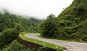 |
26°29′S 65°12′W / 26.48°S 65.20°W |
4 July 2018 | 90,000 ha (347 sq mi) | No data | |
| Baritú |  |
22°35′S 64°37′W / 22.58°S 64.62°W |
24 April 1974 | 72,439 ha (280 sq mi) | 938 | |
| Bosques Petrificados de Jaramillo | 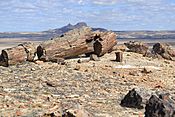 |
47°40′S 68°05′W / 47.67°S 68.09°W |
27 December 2012 | 78,543 ha (303 sq mi) | 6,535 | |
| Calilegua |  |
23°41′S 64°47′W / 23.69°S 64.79°W |
25 July 1979 | 76,306 ha (295 sq mi) | 13,667 | |
| Campos del Tuyú |  |
36°21′S 56°52′W / 36.35°S 56.87°W |
4 June 2009 | 3,040 ha (12 sq mi) | Not allowed | |
| Chaco | 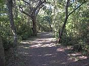 |
26°50′S 59°40′W / 26.83°S 59.66°W |
22 October 1954 | 14,981 ha (58 sq mi) | 4,913 | |
| Copo | 25°51′S 61°55′W / 25.85°S 61.91°W |
28 December 2000 | 118,119 ha (456 sq mi) | 444 | ||
| El Impenetrable | 24°59′S 61°05′W / 24.99°S 61.08°W |
30 October 2014 | 128,000 ha (494 sq mi) | Not allowed | ||
| El Leoncito | 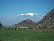 |
31°55′S 69°14′W / 31.92°S 69.24°W |
15 October 2002 | 89,706 ha (346 sq mi) | 16,343 | |
| El Palmar | 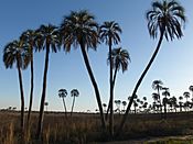 |
31°52′S 58°15′W / 31.87°S 58.25°W |
30 November 1965 | 8,213 ha (32 sq mi) | 175,414 | |
| El Rey | 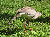 |
24°40′S 64°38′W / 24.67°S 64.63°W |
2 July 1948 | 44,162 ha (171 sq mi) | 1,204 | |
| Iberá | 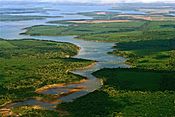 |
27°56′S 59°04′W / 27.93°S 59.07°W |
20 December 2018 | 183,500 ha (708 sq mi) | ||
| Iguazú‡ | 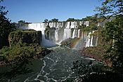 |
25°38′S 54°20′W / 25.64°S 54.34°W |
29 October 1934 | 67,620 ha (261 sq mi) | 1,349,801 | |
| Islas de Santa Fe | 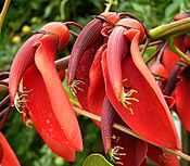 |
32°16′S 60°43′W / 32.27°S 60.71°W |
15 November 2010 | 4,096 ha (16 sq mi) | Not allowed | |
| Lago Puelo | 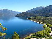 |
42°10′S 71°41′W / 42.17°S 71.69°W |
16 November 1971 | 27,675 ha (107 sq mi) | 120,554 | |
| Laguna Blanca |  |
39°02′S 70°21′W / 39.03°S 70.35°W |
29 May 1945 | 11,251 ha (43 sq mi) | 938 | |
| Lanín | 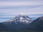 |
39°53′S 71°29′W / 39.89°S 71.48°W |
29 May 1945 | 412,003 ha (1,591 sq mi) | 51,321 | |
| Lihué Calel | 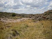 |
37°57′S 65°37′W / 37.95°S 65.61°W |
8 June 1976 | 32,500 ha (125 sq mi) | 7,582 | |
| Los Alerces‡ | 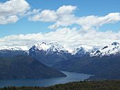 |
42°52′S 71°52′W / 42.87°S 71.87°W |
29 May 1945 | 263,000 ha (1,015 sq mi) | 143,943 | |
| Los Arrayanes | 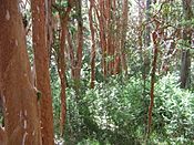 |
40°50′S 71°37′W / 40.83°S 71.61°W |
16 November 1971 | 1,840 ha (7 sq mi) | No data | |
| Los Cardones | 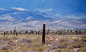 |
25°17′S 65°55′W / 25.28°S 65.92°W |
13 December 1996 | 65,000 ha (251 sq mi) | 72,947 | |
| Los Glaciares‡ | 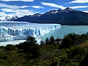 |
50°00′S 73°08′W / 50.00°S 73.13°W |
29 May 1945 | 726,927 ha (2,807 sq mi) | 542,794 | |
| Mburucuyá | 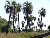 |
28°01′S 58°04′W / 28.02°S 58.07°W |
17 January 2002 | 17,086 ha (66 sq mi) | 3,136 | |
| Monte León | 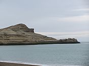 |
50°20′S 68°54′W / 50.34°S 68.90°W |
10 November 2004 | 62,169 ha (240 sq mi) | 6,762 | |
| Nahuel Huapi |  |
40°52′S 71°29′W / 40.87°S 71.49°W |
29 October 1934 | 712,160 ha (2,750 sq mi) | 279,360 | |
| Patagonia | 47°10′S 71°19′W / 47.16°S 71.32°W |
21 January 2015 | 53,000 ha (205 sq mi) | Not allowed | ||
| Perito Moreno | 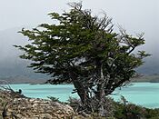 |
47°55′S 72°15′W / 47.92°S 72.25°W |
29 May 1945 | 127,120 ha (491 sq mi) | 177 | |
| Predelta | 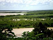 |
32°09′S 60°38′W / 32.15°S 60.63°W |
13 January 1992 | 2,608 ha (10 sq mi) | 74,217 | |
| Quebrada del Condorito | 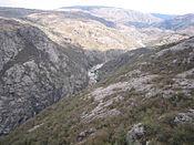 |
31°40′S 64°46′W / 31.67°S 64.77°W |
19 December 1996 | 35,393 ha (137 sq mi) | 22,079 | |
| Río Pilcomayo | 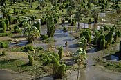 |
25°03′S 58°08′W / 25.05°S 58.13°W |
17 October 1951 | 50,417 ha (195 sq mi) | 10,186 | |
| San Guillermo | 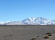 |
29°19′S 69°17′W / 29.31°S 69.29°W |
13 January 1999 | 166,000 ha (641 sq mi) | No data | |
| Sierra de las Quijadas | 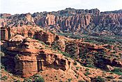 |
32°33′S 67°07′W / 32.55°S 67.12°W |
10 December 1991 | 73,785 ha (285 sq mi) | 29,599 | |
| Talampaya‡ | 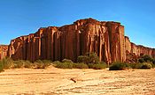 |
29°54′S 68°01′W / 29.90°S 68.01°W |
10 July 1997 | 215,000 ha (830 sq mi) | 63,797 | |
| Tierra del Fuego | 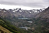 |
54°39′S 68°28′W / 54.65°S 68.47°W |
25 October 1960 | 68,909 ha (266 sq mi) | 265,633 | |
| Traslasierra | 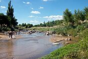 |
31°09′S 65°29′W / 31.15°S 65.49°W |
21 March 2018 | 105,385 ha (407 sq mi) | Not allowed |
See also
 In Spanish: Anexo:Parques nacionales de Argentina para niños
- List of World Heritage Sites in Argentina
- List of UNESCO Biosphere Reserves in Argentina

