Left Hand, West Virginia facts for kids
"Lefthand" redirects here. For other uses, see Left hand.
Quick facts for kids
Left Hand
|
|
|---|---|

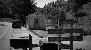
Left Hand WV Post Office
|
|
| Country | United States |
| State | West Virginia |
| County | Roane |
| Elevation | 728 ft (222 m) |
| Population
(2009)
|
|
| • Total | 390 [1] |
| Time zone | UTC-5 (Eastern (EST)) |
| • Summer (DST) | UTC-4 (EDT) |
| ZIP codes |
25251
|
| GNIS feature ID | 1541751 |
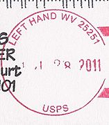
Left Hand (also Justices, Knights, or Lefthand) is an unincorporated community in southeastern Roane County, West Virginia, United States. It lies along West Virginia Route 36 southeast of the city of Spencer, the county seat of Roane County. Its post office is still active.
The community was named after nearby Lefthand Run creek.
Education
An elementary school "Geary Elementary/Middle School" is located in Left Hand, West Virginia.
Gallery

All content from Kiddle encyclopedia articles (including the article images and facts) can be freely used under Attribution-ShareAlike license, unless stated otherwise. Cite this article:
Left Hand, West Virginia Facts for Kids. Kiddle Encyclopedia.


