Lake Arapuni facts for kids
Quick facts for kids Lake Arapuni |
|
|---|---|

1928 photograph of the dam under construction
|
|
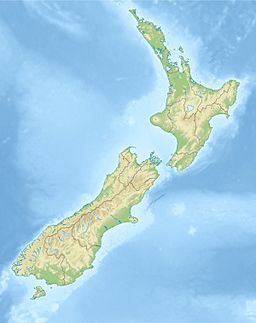
| Location | North Island |
| Coordinates | 38°8′10″S 175°38′10″E / 38.13611°S 175.63611°E |
| Type | hydroelectric reservoir |
| Primary inflows | Waikato River |
| Primary outflows | Waikato River |
| Basin countries | New Zealand |
| Surface area | 9 km2 (3.5 sq mi) |
| Residence time | 1 week |
| Settlements | Arapuni |
Lake Arapuni is one of several artificial lakes formed as part of a hydroelectricity scheme on the Waikato River in the North Island of New Zealand. It is 65 km (40 mi) southeast of Hamilton, to the north of Mangakino.
The dam, at the small settlement of Arapuni at the lake's northern end, was the first constructed on the Waikato, and was completed in 1929. The lake occupies an area of 9 km2 (3.5 sq mi).

All content from Kiddle encyclopedia articles (including the article images and facts) can be freely used under Attribution-ShareAlike license, unless stated otherwise. Cite this article:
Lake Arapuni Facts for Kids. Kiddle Encyclopedia.
