La Siberia facts for kids
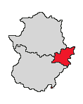
La Siberia is a Spanish local administrative division located in Badajoz, Extremadura. To the southeast is Caceres province. Castile-La Mancha is to the east.
Contents
Geography
Topography
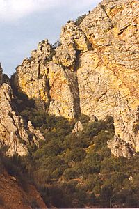
This area is part from the Toledo Mountains range and reaches until the Las Villuercas mountains. About 90 percent of its terrain ranges from 400 to 800 metres (1,310 to 2,620 ft) above sea level. Its highest mountain ranges are: the Umbría, Castrejones, Cantonegros, Santana and Pico Montilla. The last is the highest, at 940 m (3,084 ft) above sea level.
Climate
Due its location between Castilian Plateau and the Atlantic Area, its climate is inside continental climate with warm summers and slightly cold winters. The average temperature is about 16 °C (61 °F). The coldest month is January with 6 to 7 °C (43 to 45 °F) depending on its zone (north or south). On the other hand, July is the warmest month, with 25–27 °C (77–81 °F) as minimum to 42 °C (108 °F) as maximum.
Images for kids
See also
 In Spanish: La Siberia para niños


