Isle-aux-Grues facts for kids
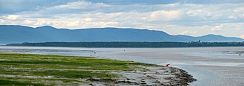
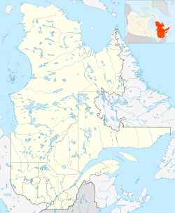
Isle-aux-Grues (French for "island of cranes") is an island situated on the Saint Lawrence River, in the municipality of Saint-Antoine-de-l'Isle-aux-Grues, in the Montmagny Regional County Municipality (MRC), in administrative region of Chaudière-Appalaches, in Quebec, in Canada.
Geography
The Isle-aux-Grues is measuring about 7 kilometres long and 2 kilometres wide. However, its dimensions increase to 10 kilometres (6.2 mi) by 4 kilometres (2.5 mi), if including the flats which connect it to Île aux Oies. It is one of the twenty-one islands which make up the Isle-aux-Grues archipelago.
Transportation
The island has an airstrip which is the only access to the island during the winter. Isle-aux-Grues is also served by a ferry during the summer.
Education
Children from Isle-aux-Grues attend school in Montmagny, Quebec, travelling by plane each day.
Person connected to the island
- The Franco-Canadian painter Jean-Paul Riopelle died on the island on 12 March 2002.
Toponymy
The toponym "Île aux Grues" was made official on December 5, 1968 at the Commission de toponymie du Québec.
See also
 In Spanish: Isle-aux-Grues para niños


