Image: YaldingMedwaySluice0536

Size of this preview: 800 × 600 pixels. Other resolutions: 320 × 240 pixels | 2,016 × 1,512 pixels.
Original image (2,016 × 1,512 pixels, file size: 752 KB, MIME type: image/jpeg)
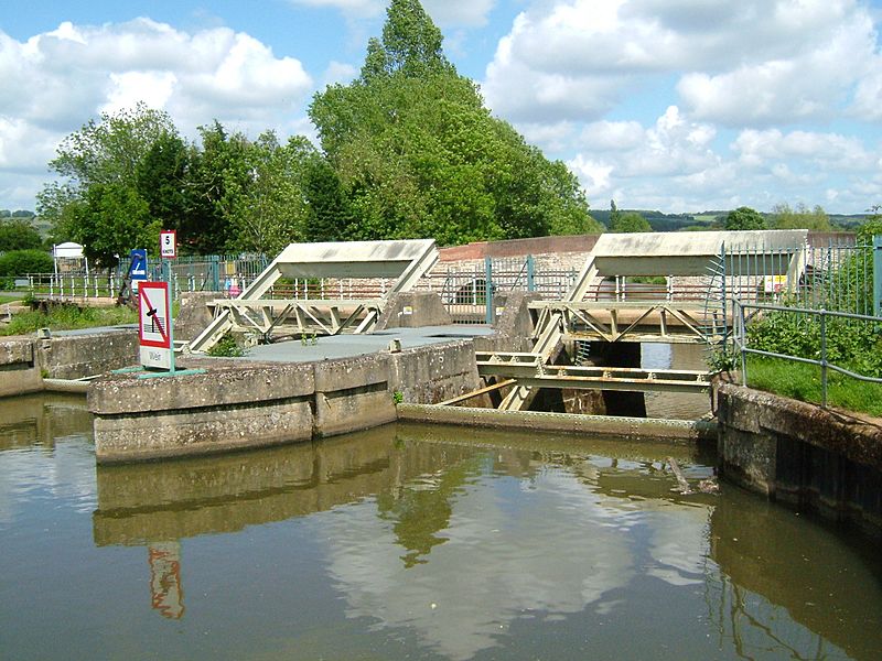
Description: River Medway, the Automatic Sluices at Yalding. To the right is the island leading to the weir, the gardens of The Olde Anchor, and the start of the Hampstead Lane Canal which takes the navigation round the sluice. Below is Twyford Bridge. This is 15.2Km from Allington and the water is +10.12m above mean sea level. Camera location 51° 13′ 18.84″ N, 0° 25′ 06.96″ E View this and other nearby images on: OpenStreetMap - Google Earth 51.221900; 0.418600
Title: YaldingMedwaySluice0536
Credit: Own work
Author: Clem Rutter, Rochester, Kent.
Usage Terms: Creative Commons Attribution 2.5
License: CC BY 2.5
License Link: http://creativecommons.org/licenses/by/2.5
Attribution Required?: Yes
Image usage
The following page links to this image:

All content from Kiddle encyclopedia articles (including the article images and facts) can be freely used under Attribution-ShareAlike license, unless stated otherwise.
