Image: YaldingHampsteadLock0545

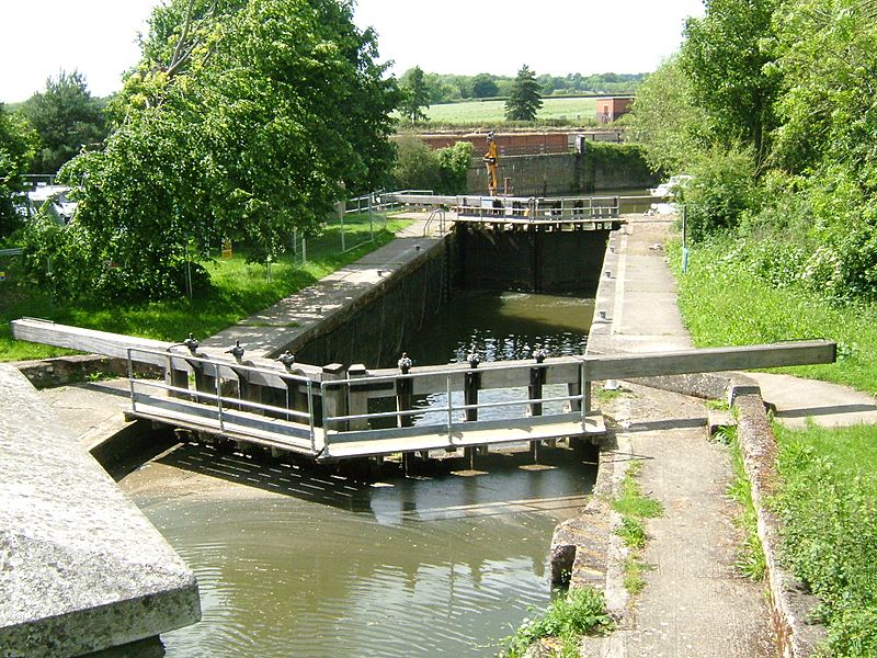
Description: Hampstead Lane Canal, Hampstead Lock at Yalding on the River Medway, Kent, looking downstream taken from the road bridge. At Yalding there is an automatic sluice where the river drops from +11.2m to +7.41m above mean sea level. The navigation bears left through the Hampstead Lane Canal, and the Hampstead Lock, the main stream drops over the weir and sluice and is joined by the River Teise (Lesser Teise) and both pass under Twyford Bridge. Camera location 51° 13′ 37.2″ N, 0° 24′ 53.28″ E View this and other nearby images on: OpenStreetMap - Google Earth 51.227000; 0.414800 The river then flows in a loop towards Yalding, where it is joined by the River Beult which has been joined by the River Teise (the other bit!) and has passed under Town Bridge. Twyford Bridge is not navigable. Hampstead Lock lies 15.2km from Allington. The canal then rejoins the rivers.
Title: YaldingHampsteadLock0545
Credit: Own work
Author: Clem Rutter, Rochester, Kent.
Usage Terms: Creative Commons Attribution 2.5
License: CC BY 2.5
License Link: http://creativecommons.org/licenses/by/2.5
Attribution Required?: Yes
Image usage
The following page links to this image:

