
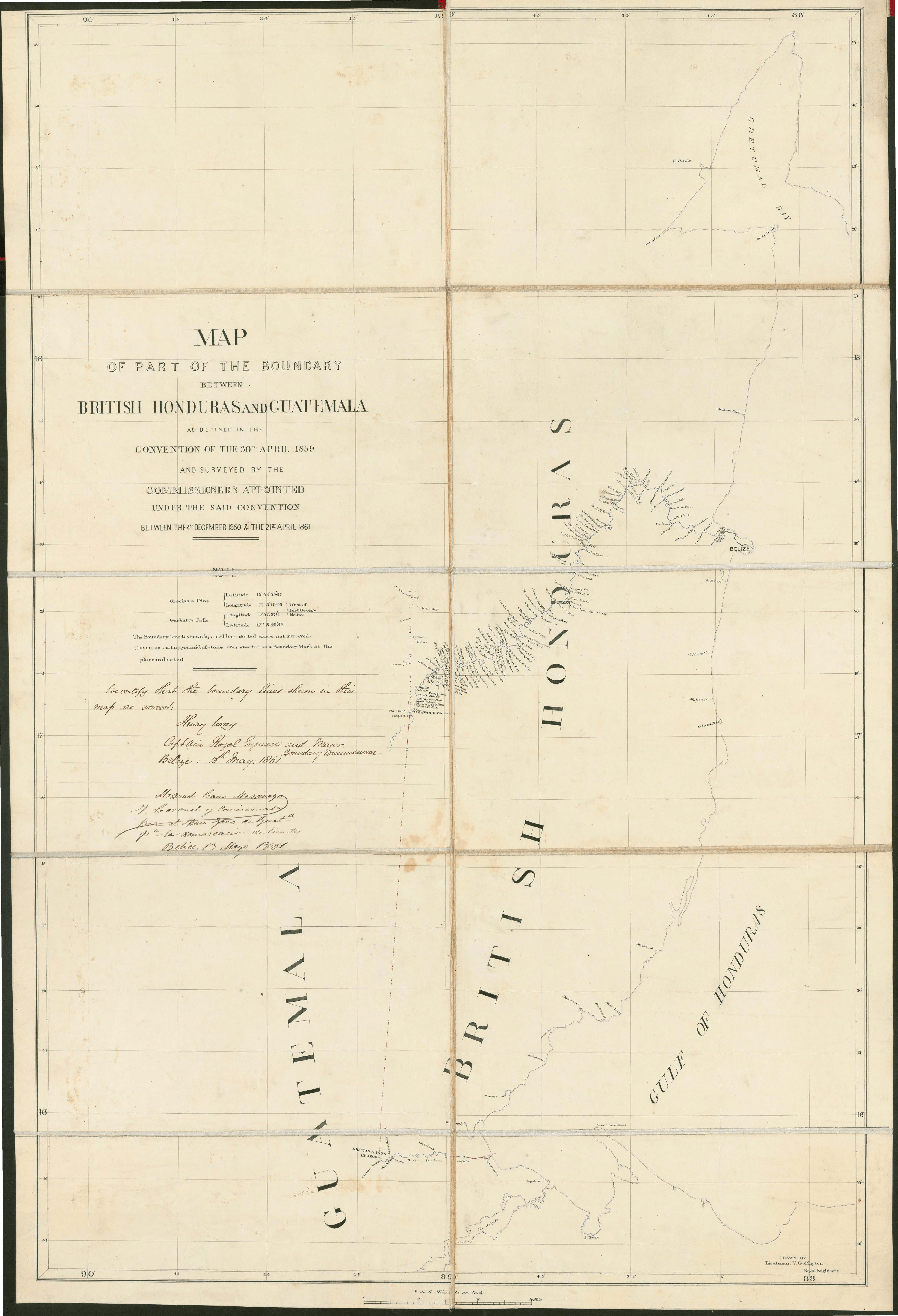
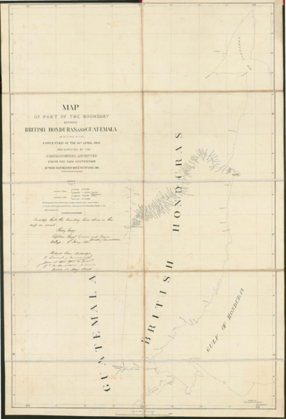
Image: Wyke–Aycinena Treaty Map
Size of this preview: 409 × 599 pixels. Other resolutions: 164 × 240 pixels | 4,186 × 6,131 pixels.
Original image (4,186 × 6,131 pixels, file size: 8.8 MB, MIME type: image/png)
Description: Map of the border between Guatemala and British Honduras (now Belize) as delineated in the Wyke–Aycinena Treaty of 1859
Title: Wyke–Aycinena Treaty Map
Credit: https://www.oas.org/sap/peacefund/belizeandguatemala/timelinedocuments/1889TreatyGuatemalaAndBelize.pdf
Author: Lieutenant V. G. Clayton
Usage Terms: Public domain
License: Public domain
Attribution Required?: No
Image usage
The following page links to this image:

All content from Kiddle encyclopedia articles (including the article images and facts) can be freely used under Attribution-ShareAlike license, unless stated otherwise.