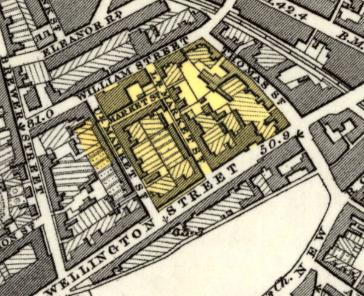
Image: Woolwich map 1863-66, Bathway Quarter
Woolwich_map_1863-66,_Bathway_Quarter.jpg (733 × 596 pixels, file size: 218 KB, MIME type: image/jpeg)
Description: Detail of Ordnance Survey Map of 1863-66 (published in 1870) of Woolwich, SE London (then Kent). Highlighted in yellow: the Bathway Quarter, designated as a Conservation Area.
Title: Woolwich map 1863-66, Bathway Quarter
Credit: http://maps.nls.uk/view/102343435
Author: Unknown cartographer, Ordnance Survey Maps, c. 1865
Usage Terms: Public domain
License: Public domain
Attribution Required?: No
Image usage
The following page links to this image:

All content from Kiddle encyclopedia articles (including the article images and facts) can be freely used under Attribution-ShareAlike license, unless stated otherwise.

