
Image: Wolf-River-Harbor-Memphis
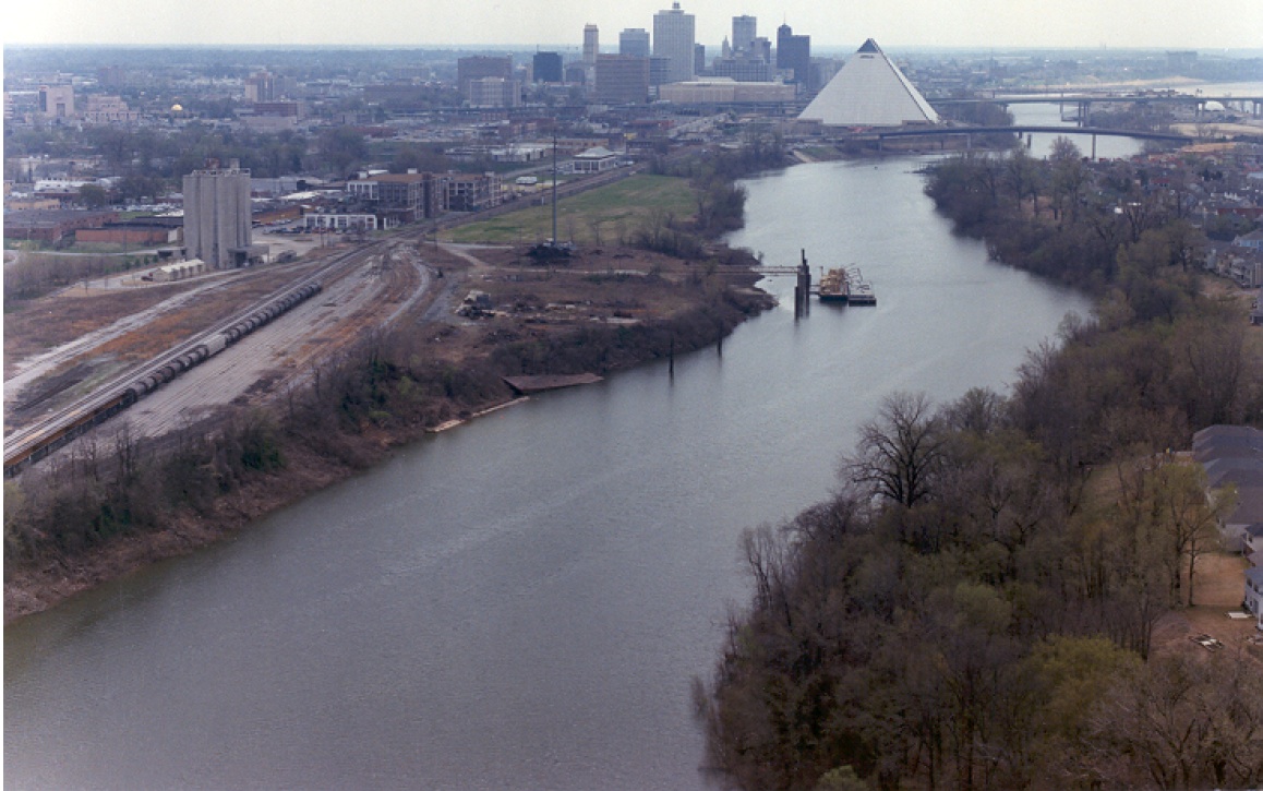
Description: Looking south down Wolf River Harbor with downtown Memphis, Tennessee, on the left, Mud Island on the right, and the Mississippi River in the extreme upper-right corner. This Mississippi River slackwater harbor was part of the Wolf River until 1960 when a canal was cut and a levee raised, diverting the Wolf into the Mississippi at the north end of Mud Island (which is really a peninsula). The photo was taken from 35°10′57″N 90°03′25″W / 35.1825°N 90.05694°W / 35.1825; -90.05694
Title: Wolf-River-Harbor-Memphis
Credit: U.S. Army Corps of Engineers, http://www.mvm.usace.army.mil/projects/PDF/tennessee.pdf
Author: U.S. Army Corps of Engineers
Usage Terms: Public domain
License: Public domain
Attribution Required?: No
Image usage
The following 4 pages link to this image:
