
Image: Wises Landing
Size of this preview: 615 × 600 pixels. Other resolutions: 246 × 240 pixels | 765 × 746 pixels.
Original image (765 × 746 pixels, file size: 370 KB, MIME type: image/png)
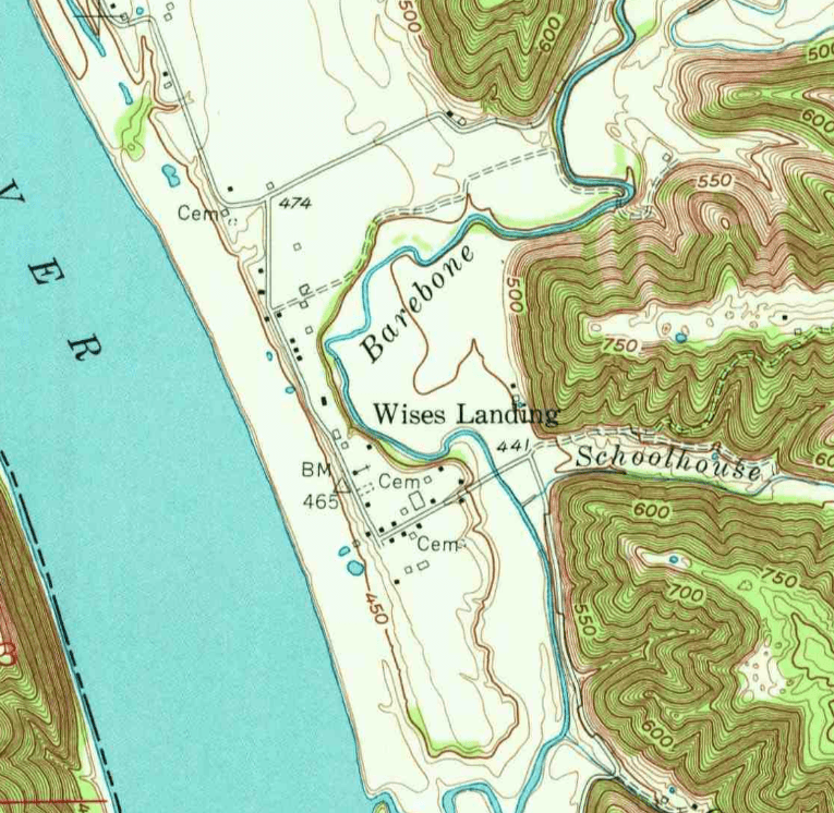
Description: Wise's Landing, KY on the 1953 Bethlehem, IN 1:24000 topographic map
Title: Wises Landing
Credit: https://ngmdb.usgs.gov/ht-bin/tv_browse.pl?id=3f9689b65217b10aa05a9dc369e8e561
Author: USGS
Usage Terms: Public domain
License: Public domain
Attribution Required?: No
Image usage
The following page links to this image:

All content from Kiddle encyclopedia articles (including the article images and facts) can be freely used under Attribution-ShareAlike license, unless stated otherwise.