
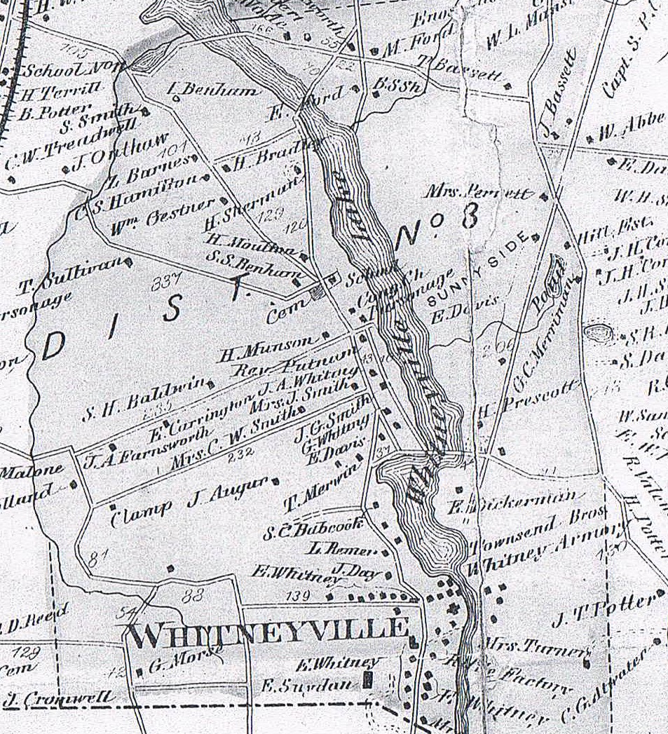
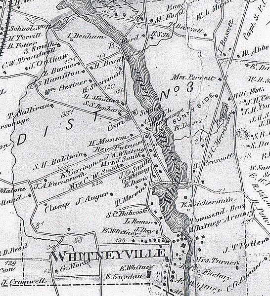
Image: Whitneyville1868BeersMap
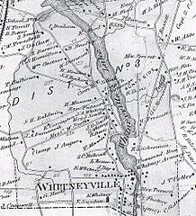
Size of this preview: 546 × 600 pixels. Other resolutions: 218 × 240 pixels | 953 × 1,047 pixels.
Original image (953 × 1,047 pixels, file size: 658 KB, MIME type: image/jpeg)
Description: Detail of the Whitneyville area of the map of Hamden in Atas of New Haven County, p. 35 by F. W. Beers, 1868.
Title: Whitneyville1868BeersMap
Credit: Atlas of New Haven County, Connecticut, F.W. Beers, p. 35, detail. Published by Beers, Ellis, and Goule, New York, 1868.
Author: F. W. Beers
Usage Terms: Public domain
License: Public domain
Attribution Required?: No
Image usage
The following page links to this image:

All content from Kiddle encyclopedia articles (including the article images and facts) can be freely used under Attribution-ShareAlike license, unless stated otherwise.