
Image: Whitney Avenue Historic District map
Size of this preview: 348 × 599 pixels. Other resolutions: 139 × 240 pixels | 432 × 743 pixels.
Original image (432 × 743 pixels, file size: 129 KB, MIME type: image/png)
Description: This city map image could be re-created using vector graphics as an SVG file. This has several advantages; see Commons:Media for cleanup for more information. If an SVG form of this image is available, please upload it and afterwards replace this template with. It is recommended to name the SVG file "Whitney Avenue Historic District map.svg" – then the template Vector version available (or Vva) does not need the new image name parameter.
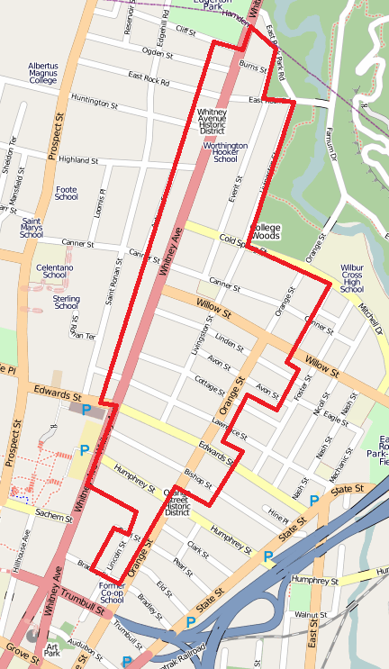
Title: Whitney Avenue Historic District map
Credit: Own work Transferred from en.wikipedia
Author: Polaron at en.wikipedia
Usage Terms: Public domain
License: Public domain
Attribution Required?: No
Image usage
The following page links to this image:

All content from Kiddle encyclopedia articles (including the article images and facts) can be freely used under Attribution-ShareAlike license, unless stated otherwise.