
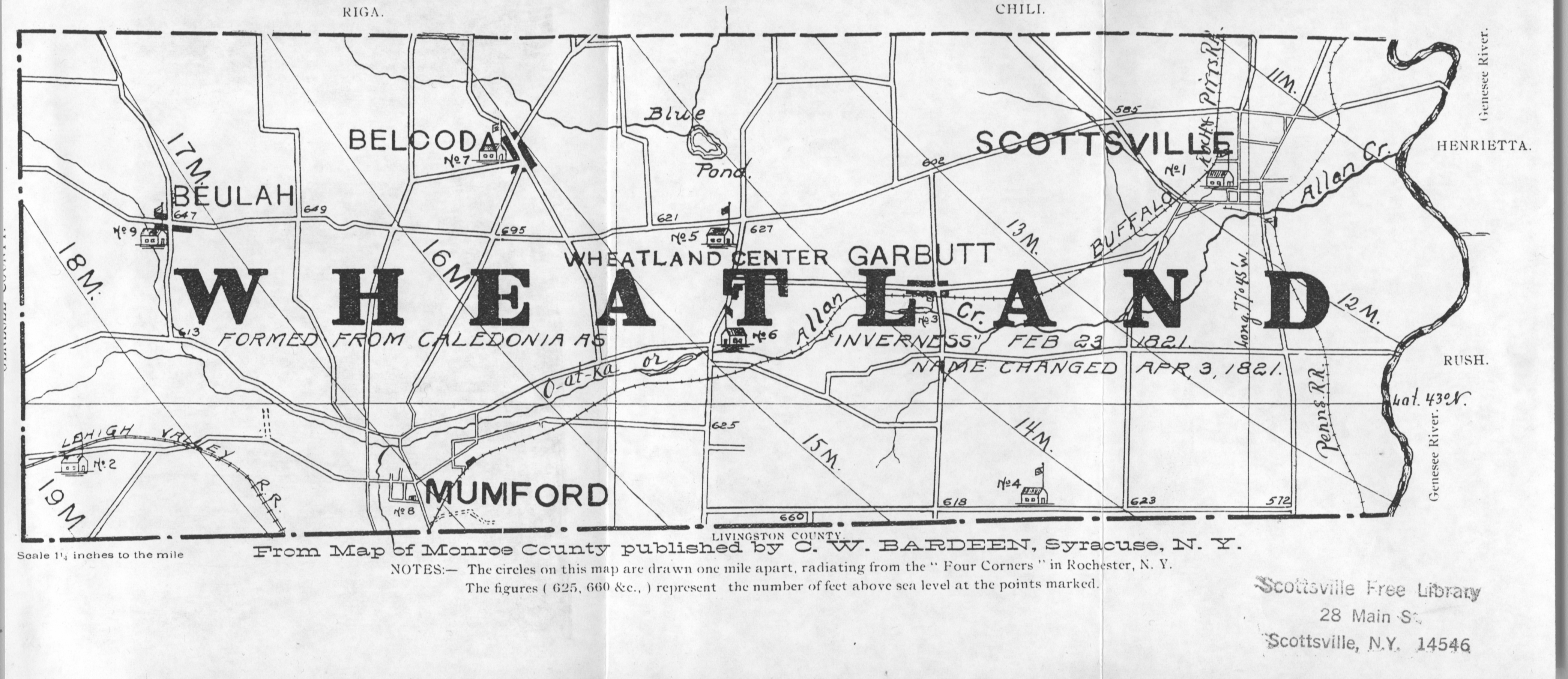
Image: Wheatland New York town map 1908
Size of this preview: 800 × 346 pixels. Other resolutions: 320 × 139 pixels | 4,180 × 1,810 pixels.
Original image (4,180 × 1,810 pixels, file size: 3.1 MB, MIME type: image/jpeg)
Description: segment of a map of Monroe County
Title: Wheatland New York town map 1908
Credit: C W Bardeen Company, Syracuse, New York
Author: Unknown
Permission: (Public Domain (more than 100 years old))
Usage Terms: Public domain
License: Public domain
Attribution Required?: No
Image usage
The following page links to this image:

All content from Kiddle encyclopedia articles (including the article images and facts) can be freely used under Attribution-ShareAlike license, unless stated otherwise.