
Image: Wgtnharbour
Size of this preview: 800 × 457 pixels. Other resolutions: 320 × 183 pixels | 1,146 × 654 pixels.
Original image (1,146 × 654 pixels, file size: 272 KB, MIME type: image/jpeg)
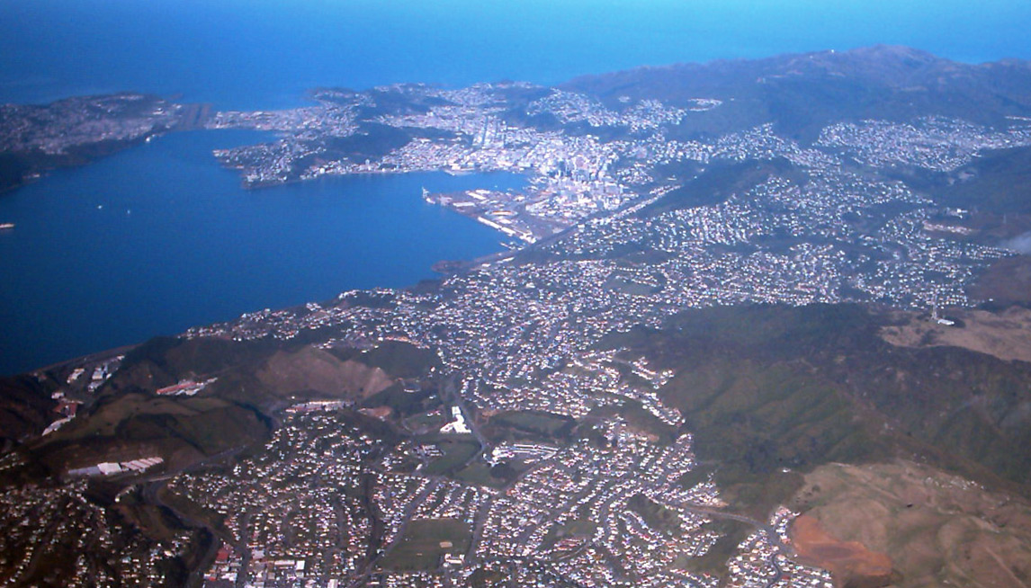
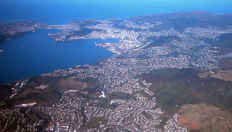
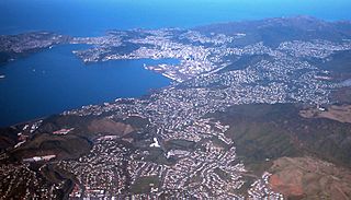
Description: Picture of Wellington from a plane. Looking south. The suburbs of Johnsonville and Raroa are in the immediate foreground, with the Ngauranga Gorge invisible to the left of the quarry at lower left. Rongotai Airport is visible upper left, with the Miramar Peninsula to the left of that. The suburb that reaches the edge of the picture upper right is Karori.
Title: Wgtnharbour
Credit: Taken by me Tristanb (talk) (do not use electronic devices during takeoff or landing!).
Author: Tristanb (talk).
Usage Terms: Creative Commons Attribution-Share Alike 3.0
License: CC-BY-SA-3.0
License Link: http://creativecommons.org/licenses/by-sa/3.0/
Attribution Required?: Yes
Image usage
The following page links to this image:

All content from Kiddle encyclopedia articles (including the article images and facts) can be freely used under Attribution-ShareAlike license, unless stated otherwise.