
Image: Westside Fairborn
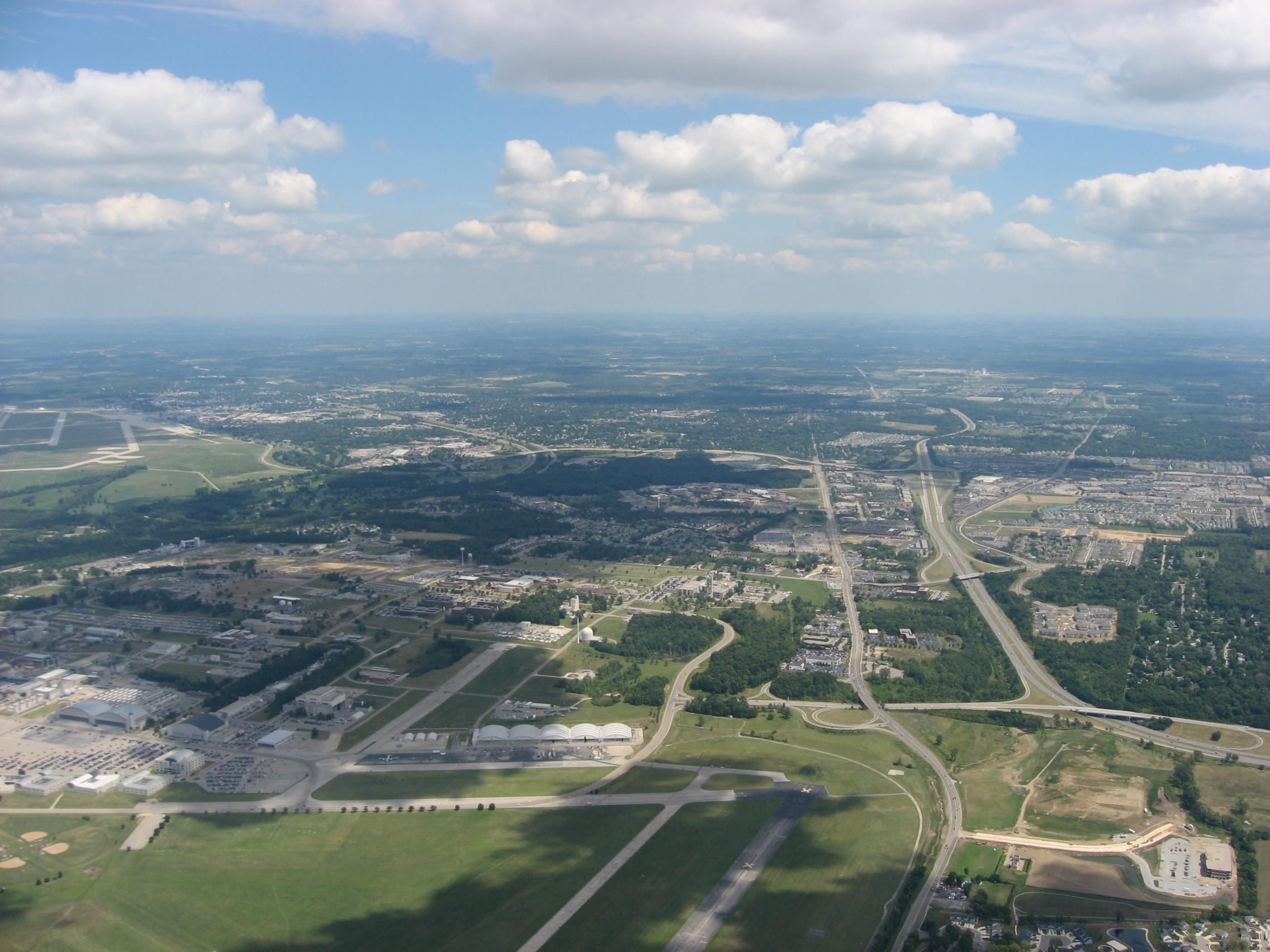
Description: Aerial view of Fairborn, a city in Greene County, Ohio, United States, taken from over Wright-Patterson Air Force Base. Interstate 675 is visible as the major highway on the right side. Picture taken from a Diamond Eclipse light airplane at an altitude of 3,480 feet MSL and a bearing of approximately 80º.
Title: Westside Fairborn
Credit: Own work
Author: Nyttend
Permission: I, the copyright holder of this work, release this work into the public domain. This applies worldwide. In some countries this may not be legally possible; if so: I grant anyone the right to use this work for any purpose, without any conditions, unless such conditions are required by law.
Usage Terms: Public domain
License: Public domain
Attribution Required?: No
Image usage
The following page links to this image:
