
Image: Westfloridaitsre00cham 0010
Size of this preview: 800 × 587 pixels. Other resolutions: 320 × 235 pixels | 2,616 × 1,920 pixels.
Original image (2,616 × 1,920 pixels, file size: 456 KB, MIME type: image/jpeg)
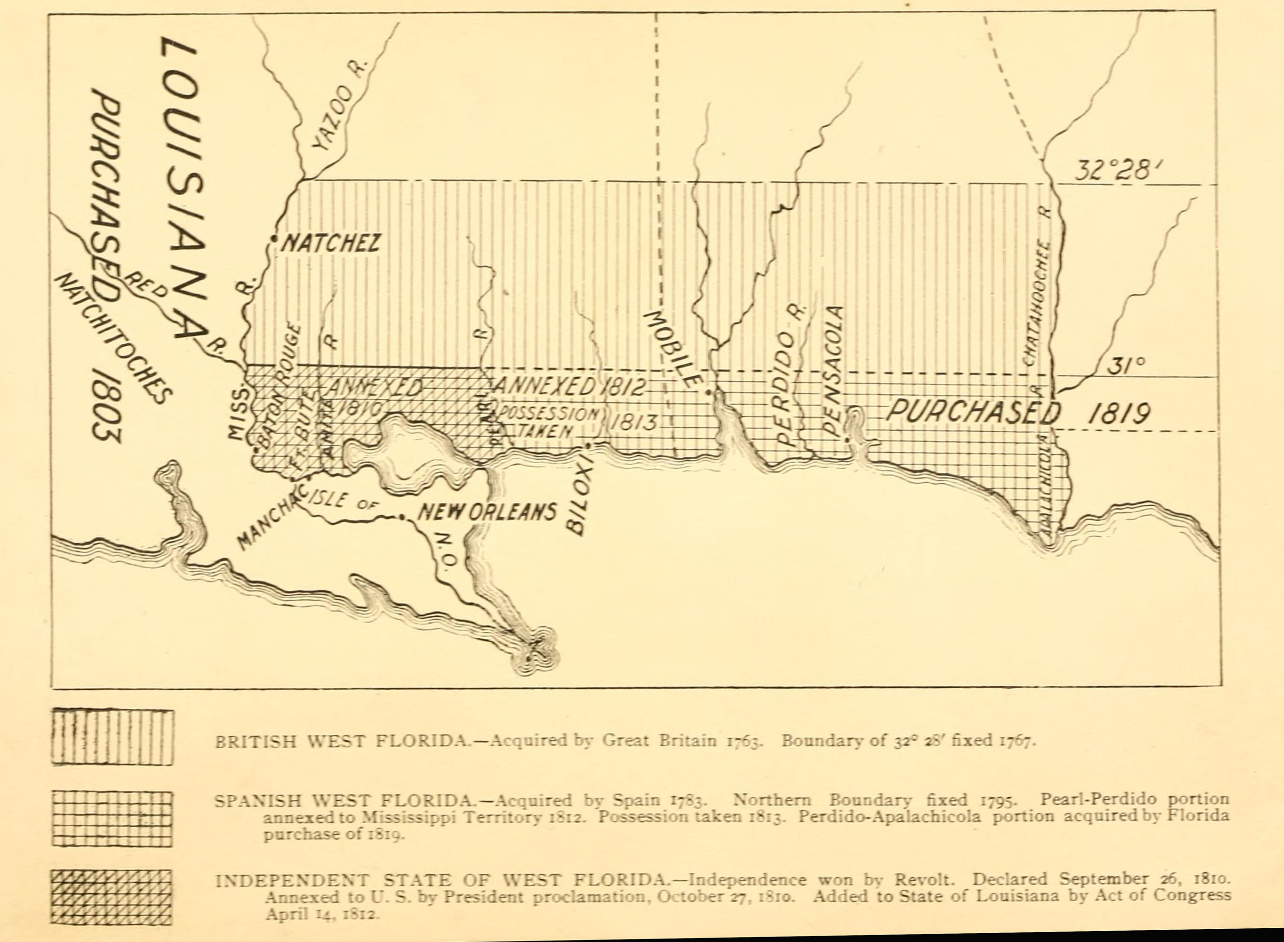
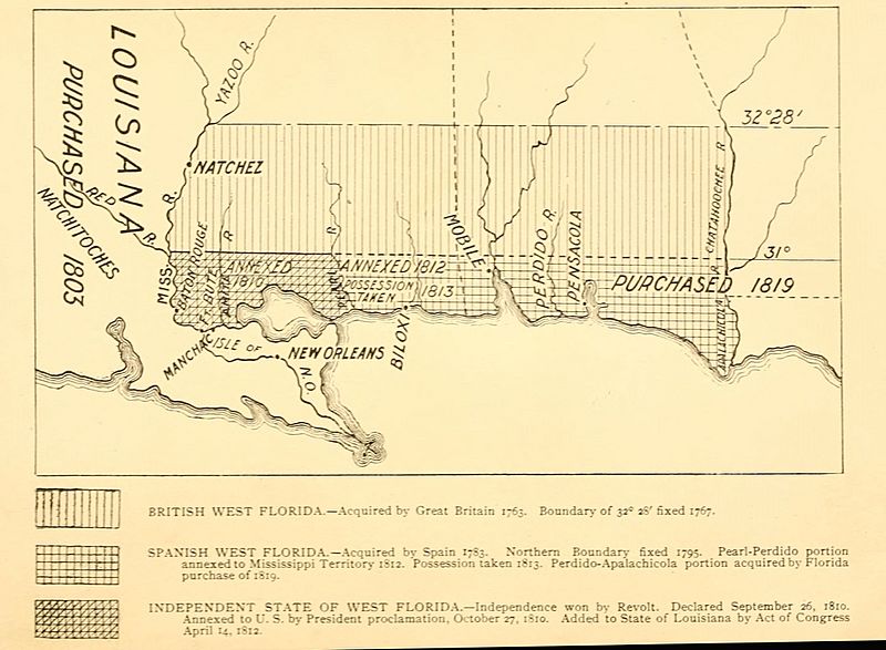
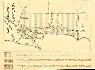
Description: A 1903 map showing the territorial changes of "West Florida"; a historical region that now incorporates portions of Louisiana, Mississippi and Alabama
Title: Westfloridaitsre00cham 0010
Credit: West Florida and its relation to the historical cartography of the United States Baltimore, The Johns Hopkins Press 1898
Author: Chambers, Henry E. (Henry Edward), 1860-1929
Usage Terms: Public domain
License: Public domain
Attribution Required?: No
Image usage
The following 5 pages link to this image:

All content from Kiddle encyclopedia articles (including the article images and facts) can be freely used under Attribution-ShareAlike license, unless stated otherwise.