
Image: West end of Smoketown Airport, Pennsylvania
Size of this preview: 800 × 533 pixels. Other resolutions: 320 × 213 pixels | 1,843 × 1,227 pixels.
Original image (1,843 × 1,227 pixels, file size: 659 KB, MIME type: image/jpeg)
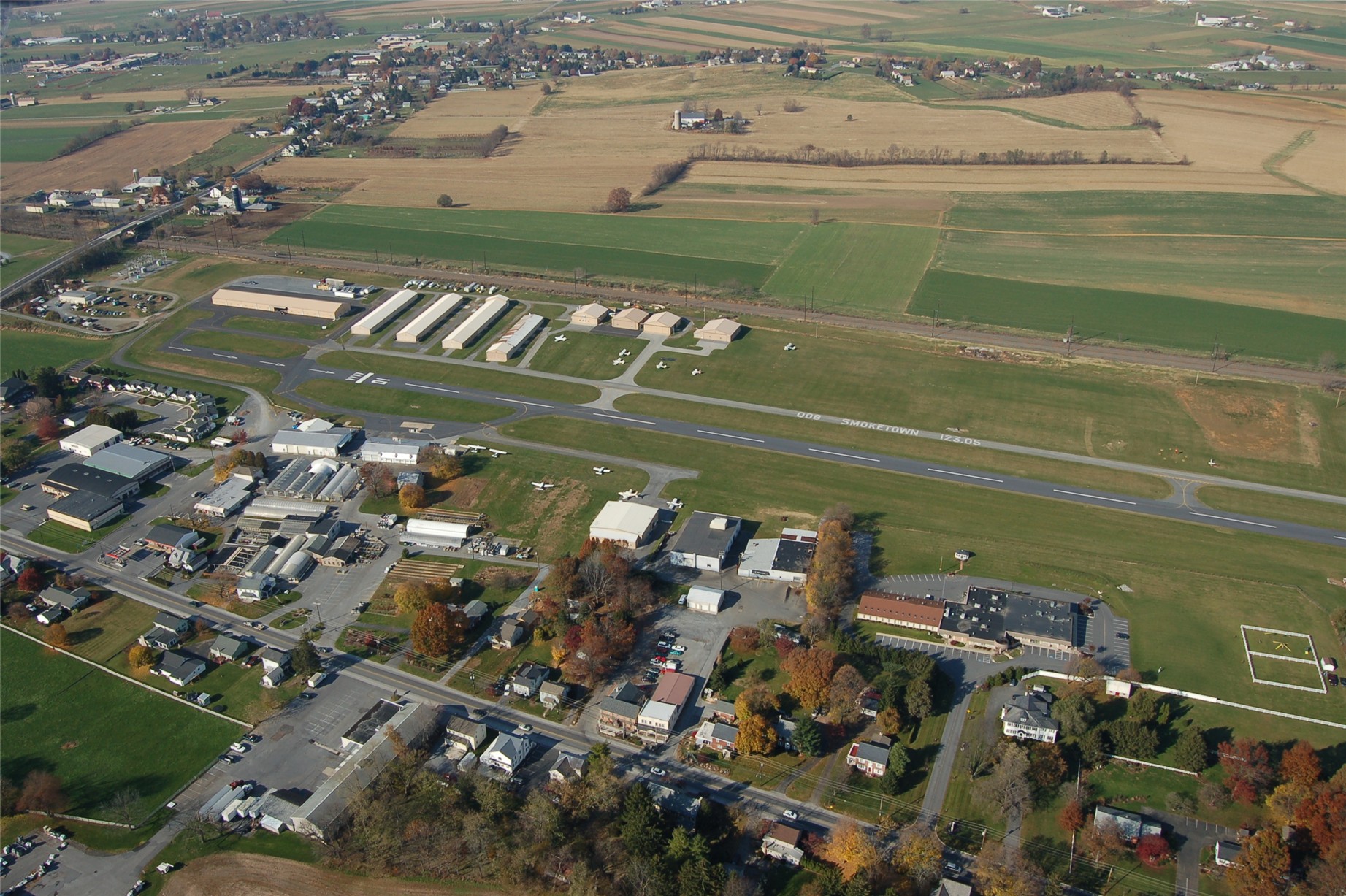
Description: Smoketown Airport, Pennsylvania. This picture is looking at the western end of the field. The T-Hangars are located on the far side of the runway and the FBO is located near the gas pumps on the near side of the runway. (The approach end of runway 28 is not visible.)
Title: West end of Smoketown Airport, Pennsylvania
Credit: Nashmanhemi (talk) (Uploads) - I took this picture while on the downwind leg of runway 28 at about 1200 feet MSL Transferred from en.wikipedia by SreeBot
Author: Nashmanhemi at en.wikipedia
Usage Terms: Public domain
License: Public domain
Attribution Required?: No
Image usage
The following page links to this image:

All content from Kiddle encyclopedia articles (including the article images and facts) can be freely used under Attribution-ShareAlike license, unless stated otherwise.