
Image: West Virginia regions 1863
Size of this preview: 774 × 599 pixels. Other resolutions: 310 × 240 pixels | 6,587 × 5,100 pixels.
Original image (6,587 × 5,100 pixels, file size: 2.69 MB, MIME type: image/jpeg)
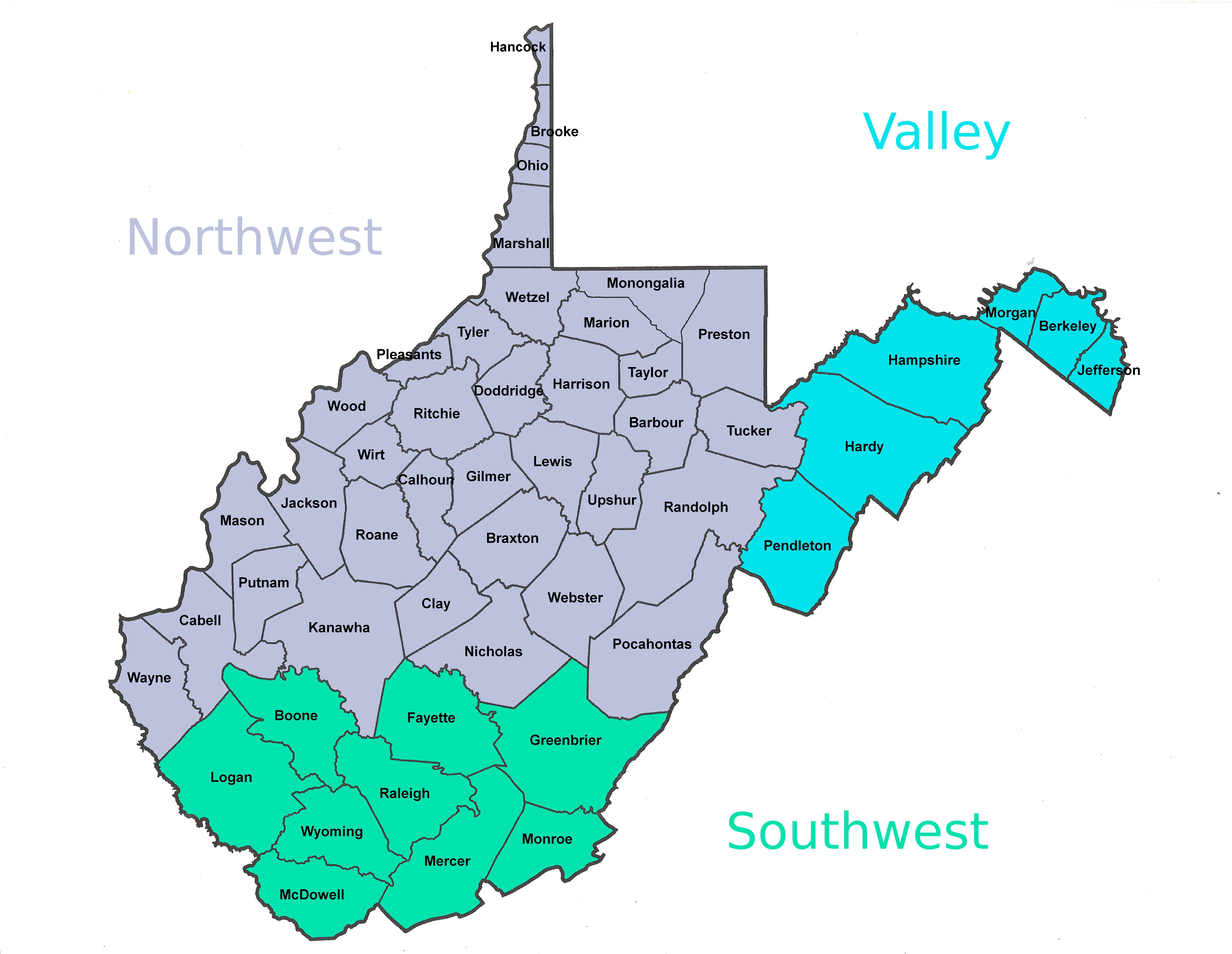
Description: When West Virginia was created in 1863 it was composed of 50 counties of Virginia from three different regions, the Northwest, the Shenandoah Valley and the Southwest. This map shows the counties of those regions.
Title: West Virginia regions 1863
Credit: Own work
Author: Dubyavee
Usage Terms: Creative Commons Attribution-Share Alike 4.0
License: CC BY-SA 4.0
License Link: https://creativecommons.org/licenses/by-sa/4.0
Attribution Required?: Yes
Image usage
The following page links to this image:

All content from Kiddle encyclopedia articles (including the article images and facts) can be freely used under Attribution-ShareAlike license, unless stated otherwise.