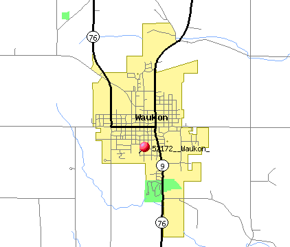
Image: Waukon IA map
Waukon_IA_map.gif (422 × 359 pixels, file size: 7 KB, MIME type: image/gif)
Description: http://tiger.census.gov/cgi-bin/mapsurfer?infact=2&outfact=2&act=move&on=statehwy&tlevel=-&tvar=-&tmeth=i&mlat=43.263951&mlon=-91.479994&msym=redpin&mlabel=52172__Waukon_&murl=&lat=43.27007&lon=-91.47824&wid=0.050&ht=0.050&conf=mapnew.con -- US Census Bureau
Title: Waukon IA map
Usage Terms: Public domain
License: Public domain
Attribution Required?: No
Image usage
The following page links to this image:

All content from Kiddle encyclopedia articles (including the article images and facts) can be freely used under Attribution-ShareAlike license, unless stated otherwise.

