
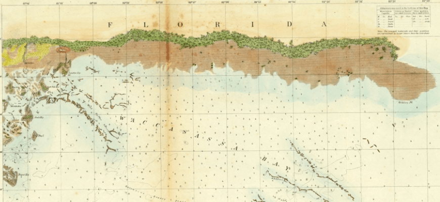
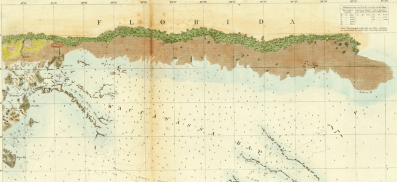
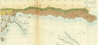
Image: Waccasassa Bay Nautical Chart 1856
Size of this preview: 800 × 368 pixels. Other resolutions: 320 × 147 pixels | 870 × 400 pixels.
Original image (870 × 400 pixels, file size: 583 KB, MIME type: image/png)
Description: Preliminary Chart of Waccasassa Bay from the Cedar Keys to the mouth of the Waccasassa River
Title: Waccasassa Bay Nautical Chart 1856
Credit: Florida Memories https://www.floridamemory.com/items/show/323038
Author: Survey of the Coast of the United States
Usage Terms: Public domain
License: Public domain
Attribution Required?: No
Image usage
The following page links to this image:

All content from Kiddle encyclopedia articles (including the article images and facts) can be freely used under Attribution-ShareAlike license, unless stated otherwise.