
Image: Volusia County Florida No Highlights

Size of this PNG preview of this SVG file: 566 × 599 pixels. Other resolution: 227 × 240 pixels.
Original image (SVG file, nominally 850 × 900 pixels, file size: 205 KB)
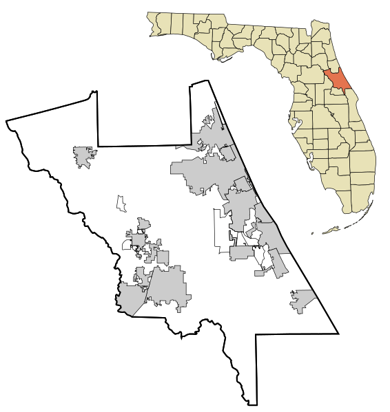
Description: This map shows the incorporated and unincorporated areas in Volusia County, Florida. It was created with a custom script with US Census Bureau data and modified with Inkscape.
Title: Volusia County Florida No Highlights
Credit: Derivative of file by User:Arkyan, based on public domain information.
Author: Gamweb
Usage Terms: Creative Commons Attribution-Share Alike 3.0
License: CC BY-SA 3.0
License Link: https://creativecommons.org/licenses/by-sa/3.0
Attribution Required?: Yes
Image usage
The following 31 pages link to this image:
- Alamana, Florida
- Benson Junction, Florida
- Boden, Florida
- Cassadaga, Florida
- City Island (Daytona Beach)
- Cow Creek, Florida
- Creighton, Florida
- Daytona Beach Bandshell
- DeBary Hall
- Dunlawton Plantation and Sugar Mill
- Emporia, Florida
- Farmton, Florida
- Fort Florida, Florida
- Historic Winter Residences of Ormond Beach, 1878-1925 MPS
- Kalamazoo, Florida
- Lemon Bluff, Florida
- Mary McLeod Bethune Home
- Maytown, Florida
- Nocoroco
- Ormond Hotel
- Osteen, Florida
- Pennichaw, Florida
- Ross Hammock Site
- Seabreeze, Florida
- Senyah, Florida
- Spruce Creek Mound Complex
- St. Rita's Colored Catholic Mission
- Strawn Historic Citrus Packing House District
- Turtle Mound
- Valdez, Florida
- Volusia, Florida

All content from Kiddle encyclopedia articles (including the article images and facts) can be freely used under Attribution-ShareAlike license, unless stated otherwise.