
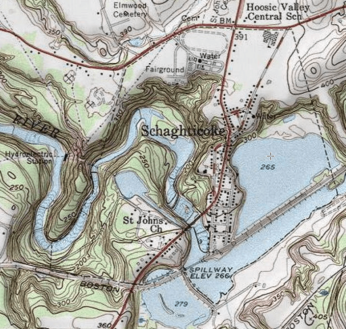
Image: Village of Schaghticoke
Size of this preview: 630 × 600 pixels. Other resolutions: 252 × 240 pixels | 705 × 671 pixels.
Original image (705 × 671 pixels, file size: 1.17 MB, MIME type: image/png)
Description: Part of the USGS topographical map Schaghticoke triangle
Title: Village of Schaghticoke
Credit: USGS topographic map Schaghticoke via Screenshot @ http://mapper.acme.com/?ll=42.8950186,-73.588601&z=15
Author: United States Geological Survey
Usage Terms: Public domain
License: Public domain
Attribution Required?: No
Image usage
The following page links to this image:

All content from Kiddle encyclopedia articles (including the article images and facts) can be freely used under Attribution-ShareAlike license, unless stated otherwise.