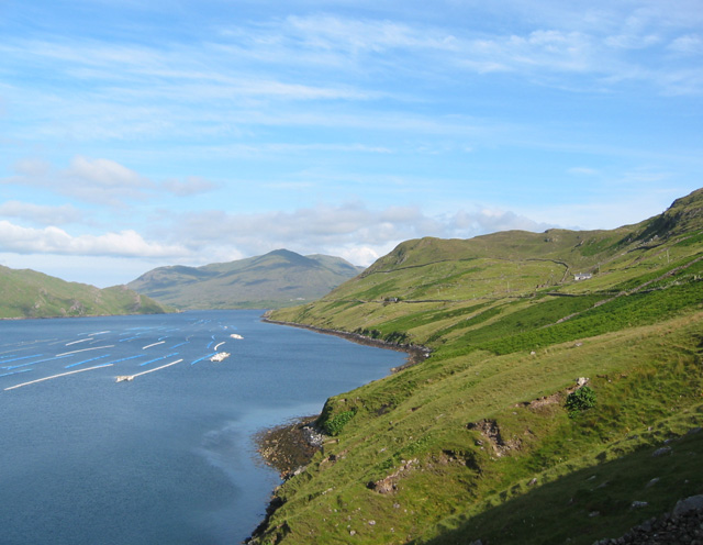
Image: View south east down Killary Harbour - geograph.org.uk - 201456
View_south_east_down_Killary_Harbour_-_geograph.org.uk_-_201456.jpg (640 × 496 pixels, file size: 115 KB, MIME type: image/jpeg)
Description: View south east down Killary Harbour. From famine relief track at a high point on a rocky knoll. The relatively steep pastureland on the south shore of Killary Harbour has one modern farm (white building, right) and several farm ruins. Buoys of mussel farms on the water.
Title: View south east down Killary Harbour - geograph.org.uk - 201456
Credit: From geograph.org.uk
Author: Espresso Addict
Usage Terms: Creative Commons Attribution-Share Alike 2.0
License: CC BY-SA 2.0
License Link: https://creativecommons.org/licenses/by-sa/2.0
Attribution Required?: Yes
Image usage
The following page links to this image:

All content from Kiddle encyclopedia articles (including the article images and facts) can be freely used under Attribution-ShareAlike license, unless stated otherwise.

