
Image: View east-southeast from Tyneham Cap - geograph.org.uk - 695848
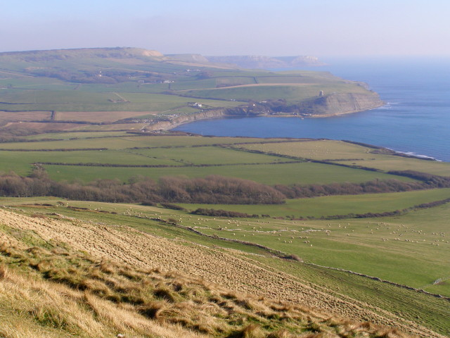
Description: View east-southeast from Tyneham Cap Looking east-southeast from the highest part of Tyneham Cap on the Purbeck limestone ridge, across Kimmeridge Bay towards St Aldhelms Head. The land in the lower half of the photograph is all within the Lulworth Gunnery Ranges and public access is only permitted at certain times (most weekends and holidays) along the waymarked Range Walks. The subject grid reference for this photo is given as the wooded stream valley (Egliston Gwyle) running down from left to right, below the centre of the photo.
Title: View east-southeast from Tyneham Cap - geograph.org.uk - 695848
Credit: From geograph.org.uk
Author: Jim Champion
Usage Terms: Creative Commons Attribution-Share Alike 2.0
License: CC BY-SA 2.0
License Link: http://creativecommons.org/licenses/by-sa/2.0
Attribution Required?: Yes
Image usage
The following page links to this image:
