Image: Varadero (Cuban municipal map)

Size of this preview: 800 × 313 pixels. Other resolutions: 320 × 125 pixels | 1,264 × 494 pixels.
Original image (1,264 × 494 pixels, file size: 14 KB, MIME type: image/png)
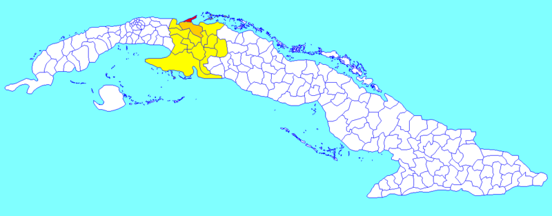
Description: A map of the municipality of Varadero (shown in red), disestablished in 2011, within the Province of Matanzas (yellow) and Cuba. The rest of the municipality of Cárdenas (see file), is shown in orange.
Title: Varadero (Cuban municipal map)
Credit: Derived from the original File:Cuba municipalities.png by Rarelibra.
Author: Dэя-Бøяg
Usage Terms: Creative Commons Attribution-Share Alike 3.0
License: CC BY-SA 3.0
License Link: http://creativecommons.org/licenses/by-sa/3.0/
Attribution Required?: Yes
Image usage
The following page links to this image:

All content from Kiddle encyclopedia articles (including the article images and facts) can be freely used under Attribution-ShareAlike license, unless stated otherwise.
