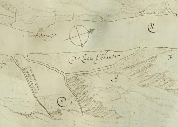
Image: Van Rensselaer Island
Van_Rensselaer_Island.png (592 × 424 pixels, file size: 377 KB, MIME type: image/png)
Description: De Laet's Island, known later as Van Rensselaer Island, as charted in the original Map of Rensselaerswyck, probably created around 1632; north is to the right.
Title: Van Rensselaer Island
Credit: Rensselaerswyck_Original_Map_Small.png
Author: Rensselaerswyck_Original_Map_Small.png: Unknown (but most likely not Gillis van Schendel, as is typically assumed) derivative work: upstateNYer
Usage Terms: Public domain
License: Public domain
Attribution Required?: No
Image usage
The following page links to this image:

All content from Kiddle encyclopedia articles (including the article images and facts) can be freely used under Attribution-ShareAlike license, unless stated otherwise.

