
Image: Vale of Edale001
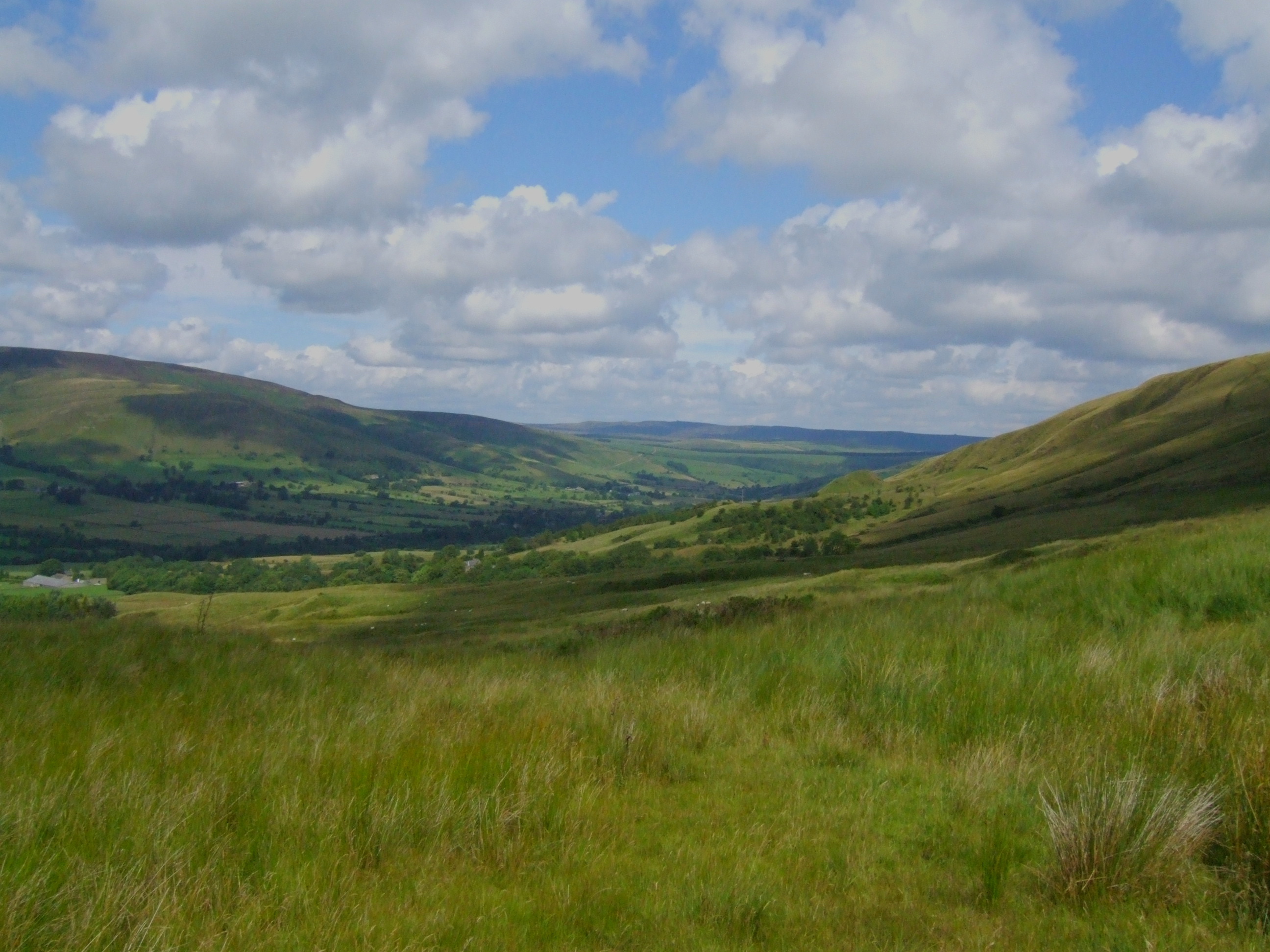
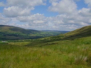
Description: Edale Derbyshire, Peak District. (pron. Ee-dale) is a small Derbyshire village and Civil parish in the Peak District, in the Midlands of England. The Parish of Edale, area 2,844.8ha,[2] is in the Borough of High Peak. Edale is best known to serious walkers as the start (or southern end) of the Pennine Way, and to less-ambitious walkers as a good starting point for beautiful evening or day Peak District walks, reachable by public transport from Sheffield or Manchester, and with two pubs which both supply real ale and food. Camera location 53° 20′ 58.56″ N, 1° 48′ 50.4″ W View this and other nearby images on: OpenStreetMap 53.349600; -1.814000 (prediction) Barber's Booth to Chapel-en-le-Frith road, by Harden Clough.
Title: Vale of Edale001
Credit: Vale of Edale
Author: Siobhan Brennan-Raymond from Doncaster,South Yorkshire, UK
Usage Terms: Creative Commons Attribution 2.0
License: CC BY 2.0
License Link: https://creativecommons.org/licenses/by/2.0
Attribution Required?: Yes
Image usage
The following page links to this image:
