
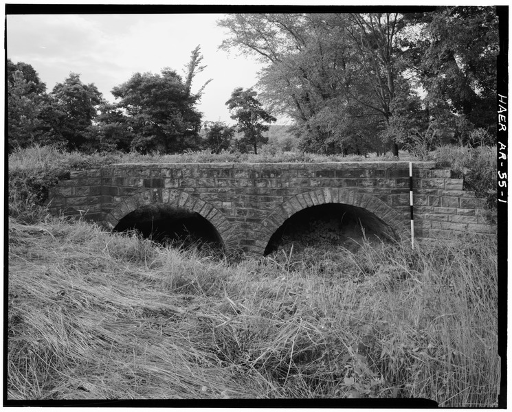
Image: VIEW, SOUTH ELEVATION, LOOKING NORTH (SCALE ROD IS MEASURED IN FEET) - Milltown Bridge, Spanning Vache Grasse Creek tributary at County Road No.77, Milltown, Sebastian County, AR HAER ARK,66-MILTO,1-1
Size of this JPG preview of this TIF file: 745 × 600 pixels. Other resolution: 298 × 240 pixels.
Original image (5,000 × 4,025 pixels, file size: 19.2 MB, MIME type: image/tiff)
Title: VIEW, SOUTH ELEVATION, LOOKING NORTH (SCALE ROD IS MEASURED IN FEET) - Milltown Bridge, Spanning Vache Grasse Creek tributary at County Road No.77, Milltown, Sebastian County, AR
Credit: http://www.loc.gov/pictures/item/ar0113.photos.010521p
Author: Holder, Jeff, creator
Permission: This image or media file contains material based on a work of a National Park Service employee, created as part of that person's official duties. As a work of the U.S. federal government, such work is in the public domain in the United States. See the NPS website and NPS copyright policy for more information.
Usage Terms: Public domain
License: Public domain
Attribution Required?: No
Image usage
The following page links to this image:

All content from Kiddle encyclopedia articles (including the article images and facts) can be freely used under Attribution-ShareAlike license, unless stated otherwise.