
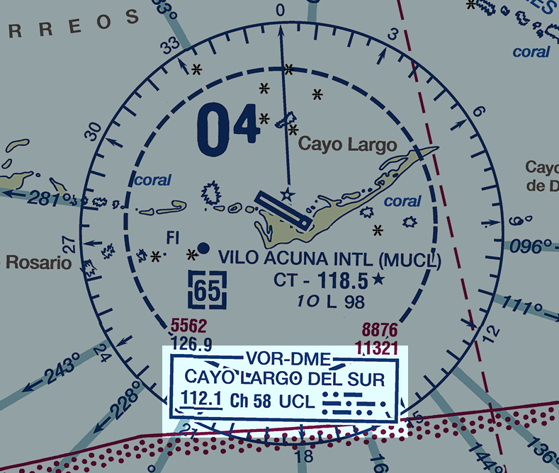
Image: VFR Chart Cayo Largo Del Sur VOR-DME
Size of this preview: 708 × 599 pixels. Other resolutions: 284 × 240 pixels | 789 × 668 pixels.
Original image (789 × 668 pixels, file size: 89 KB, MIME type: image/png)
Description: Crop from FAA Caribbean 1 VFR aeronautical chart showing Cayo Largo Del Sur VOR-DME
Title: VFR Chart Cayo Largo Del Sur VOR-DME
Credit: United States Department of Transportation (Sept 14, 2017). VFR Raster Charts. Federal Aviation Administration VFR Raster Charts website. Retrieved on 2018-02-24.
Author: United States Department of Transportation
Usage Terms: Public domain
License: Public domain
Attribution Required?: No
Image usage
The following page links to this image:

All content from Kiddle encyclopedia articles (including the article images and facts) can be freely used under Attribution-ShareAlike license, unless stated otherwise.