
Image: Utoy Creek Battlefield Georgia
Size of this preview: 784 × 600 pixels. Other resolutions: 314 × 240 pixels | 1,830 × 1,400 pixels.
Original image (1,830 × 1,400 pixels, file size: 987 KB, MIME type: image/jpeg)
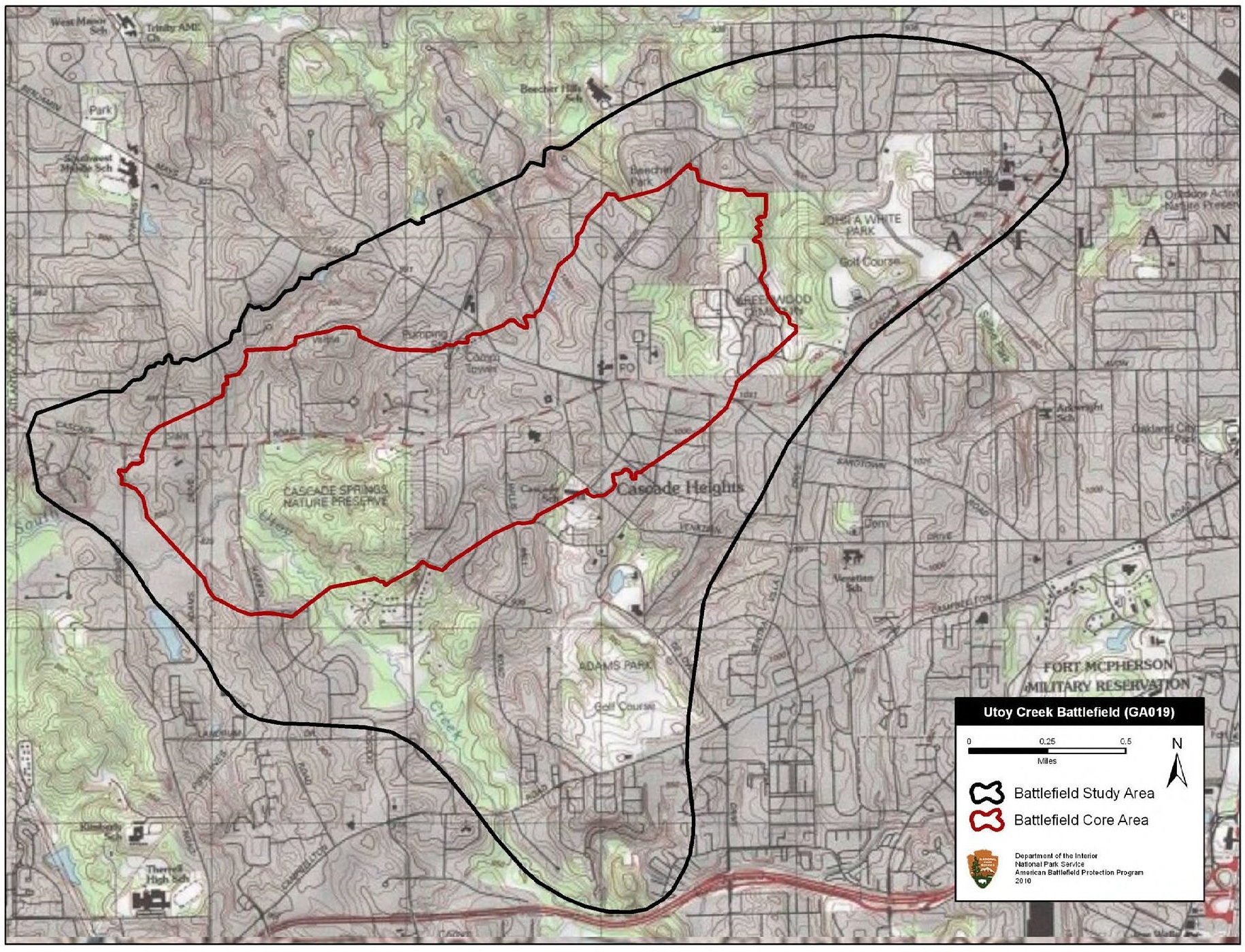
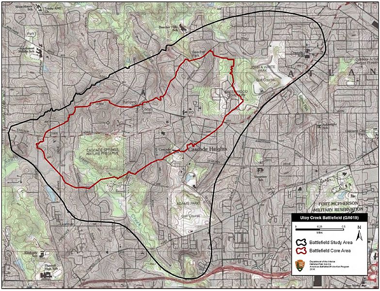
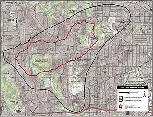
Description: Map of battlefield core and study areas. The ABPP expanded the 1993 Core Area to the northeast to include the entire Union and Confederate lines of battle and artillery positions along Utoy Creek. The Study Area was adjusted to accommodate the revised Core Area and to conform to the physical constraints of the historic landscape.
Title: Utoy Creek Battlefield Georgia
Credit: National Park Service
Author: American Battlefield Protection Program
Usage Terms: Public domain
License: Public domain
Attribution Required?: No
Image usage
The following page links to this image:

All content from Kiddle encyclopedia articles (including the article images and facts) can be freely used under Attribution-ShareAlike license, unless stated otherwise.