
Image: United States 1959-08-present

Size of this preview: 800 × 542 pixels. Other resolutions: 320 × 217 pixels | 1,000 × 677 pixels.
Original image (1,000 × 677 pixels, file size: 47 KB, MIME type: image/png)
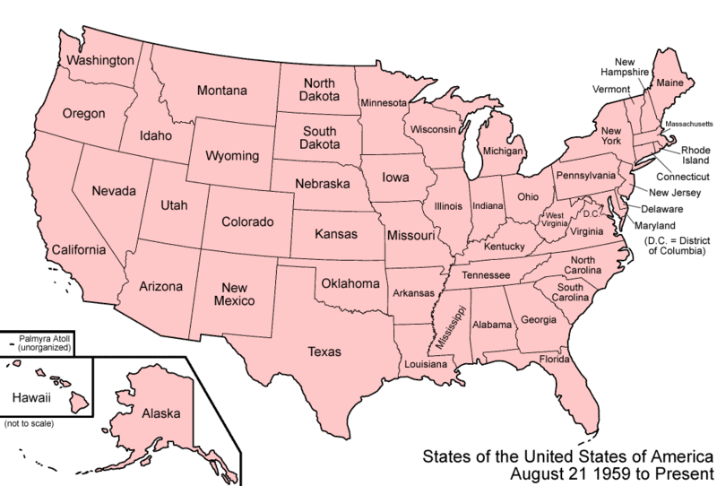
Description: Map of the states and territories of the United States as it has been since August 21 1959, when Hawaii Territory was admitted as the state of Hawaii, completing the United States' present-day borders.
Title: United States 1959-08-present
Credit: Own work
Author: Made by User:Golbez.
Permission: Own work, attribution required (Multi-license with GFDL and Creative Commons CC-BY 2.5)
Usage Terms: Creative Commons Attribution 2.5
License: CC BY 2.5
License Link: http://creativecommons.org/licenses/by/2.5
Attribution Required?: Yes
Image usage
The following 15 pages link to this image:
- List of territorial claims and designations in Colorado
- Outline of North Dakota territorial evolution
- Outline of Oregon territorial evolution
- Outline of Washington territorial evolution
- Outline of Wyoming territorial evolution
- Territorial evolution of Arizona
- Territorial evolution of California
- Territorial evolution of Idaho
- Territorial evolution of Montana
- Territorial evolution of Nevada
- Territorial evolution of New Mexico
- Territorial evolution of South Dakota
- Territorial evolution of Utah
- U.S. territorial sovereignty
- U.S. territory

All content from Kiddle encyclopedia articles (including the article images and facts) can be freely used under Attribution-ShareAlike license, unless stated otherwise.