
Image: Ulistac Natural Area aerial
Size of this preview: 800 × 573 pixels. Other resolutions: 320 × 229 pixels | 3,771 × 2,702 pixels.
Original image (3,771 × 2,702 pixels, file size: 3.5 MB, MIME type: image/jpeg)
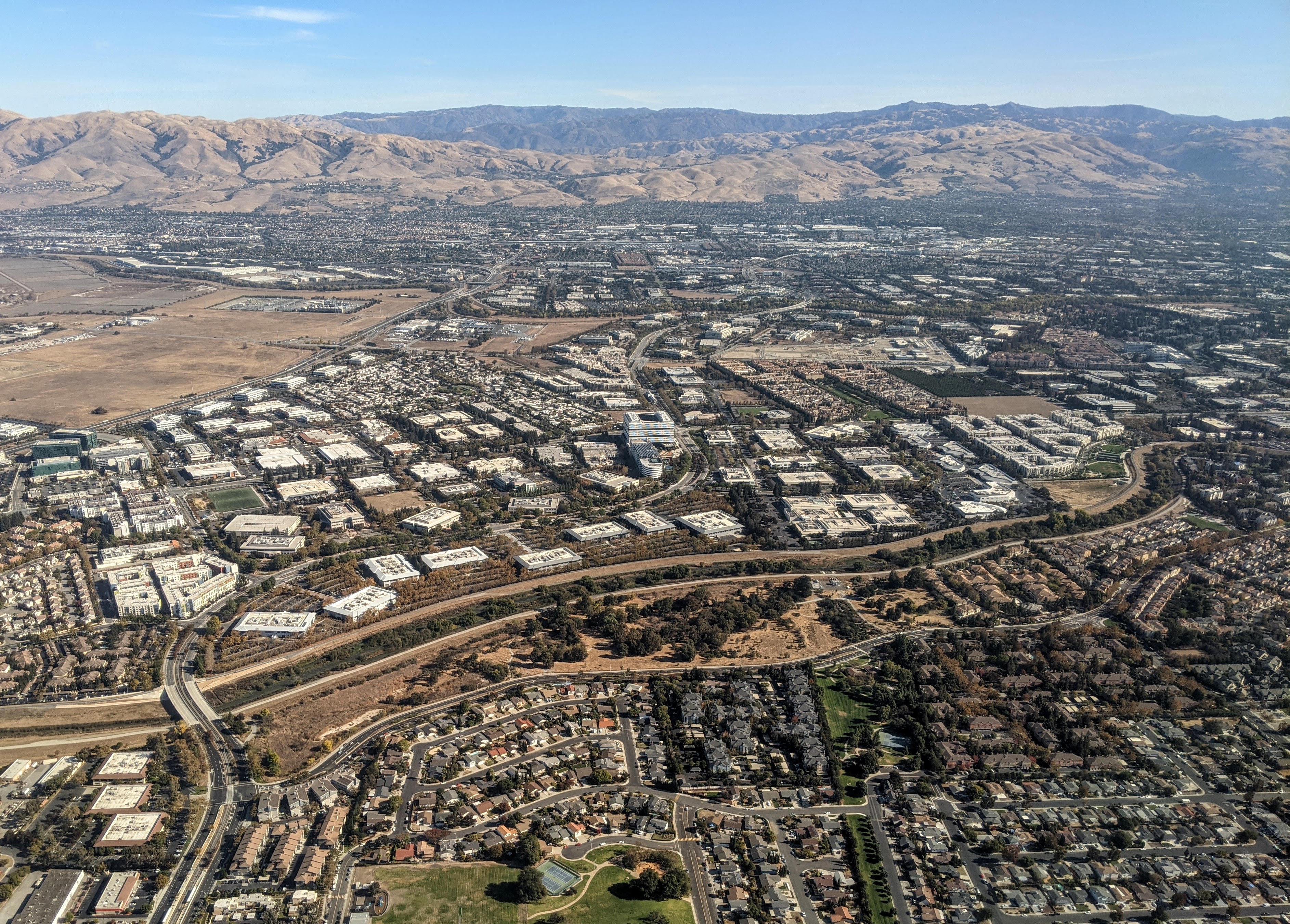
Description: Aerial view of Ulistac Natural Area, along the Guadalupe River in Santa Clara, California. Lick Mill Blvd. runs along its near side. At left it is bounded by Tasman Drive, and at right by the Carlyle apartments. Across the river is San Jose's industrial northern neighborhood.
Title: Ulistac Natural Area aerial
Credit: Own work
Author: Dicklyon
Usage Terms: Creative Commons Attribution-Share Alike 4.0
License: CC BY-SA 4.0
License Link: https://creativecommons.org/licenses/by-sa/4.0
Attribution Required?: Yes
Image usage
The following page links to this image:

All content from Kiddle encyclopedia articles (including the article images and facts) can be freely used under Attribution-ShareAlike license, unless stated otherwise.