
Image: Uinta Highline Trail, Big Park, Uintah County, Utah, USA
Size of this preview: 800 × 600 pixels. Other resolutions: 320 × 240 pixels | 2,592 × 1,944 pixels.
Original image (2,592 × 1,944 pixels, file size: 1.13 MB, MIME type: image/jpeg)
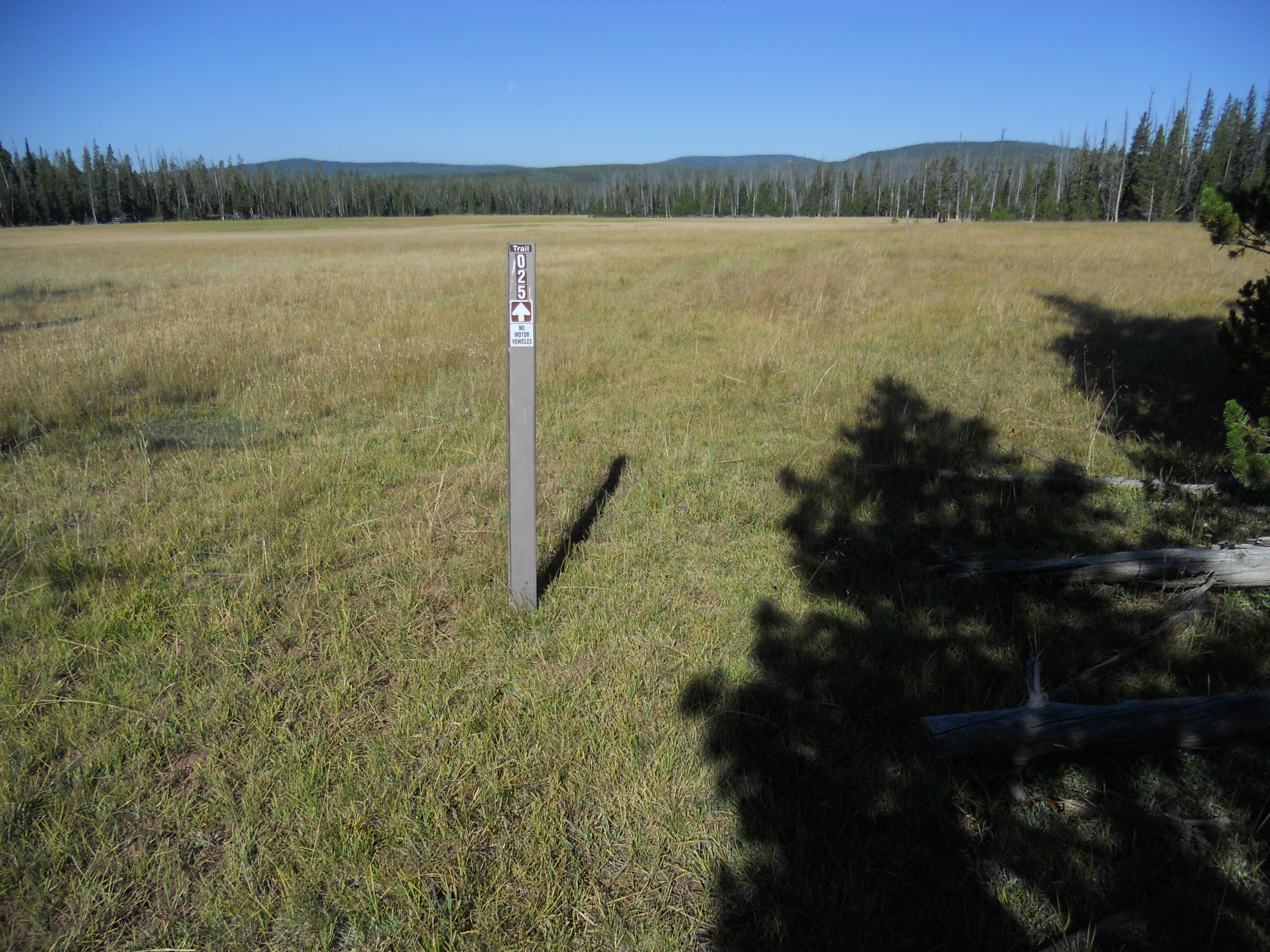
Description: The Uinta Highline Trail, looking west into Big Park. In the Ashley National Forest the UHT is designated as Forest Trail 025 and numbered posts help guide users where the path is faint. This large subalpine meadow is at an elevation of 9,100 ft (2,774 m) and just 3 miles (4.8 km) from the trail's eastern terminus in McKee Draw..
Title: Uinta Highline Trail, Big Park, Uintah County, Utah, USA
Credit: Own work
Author: John Sowell
Usage Terms: Creative Commons Attribution-Share Alike 4.0
License: CC BY-SA 4.0
License Link: https://creativecommons.org/licenses/by-sa/4.0
Attribution Required?: Yes
Image usage
The following page links to this image:

All content from Kiddle encyclopedia articles (including the article images and facts) can be freely used under Attribution-ShareAlike license, unless stated otherwise.