
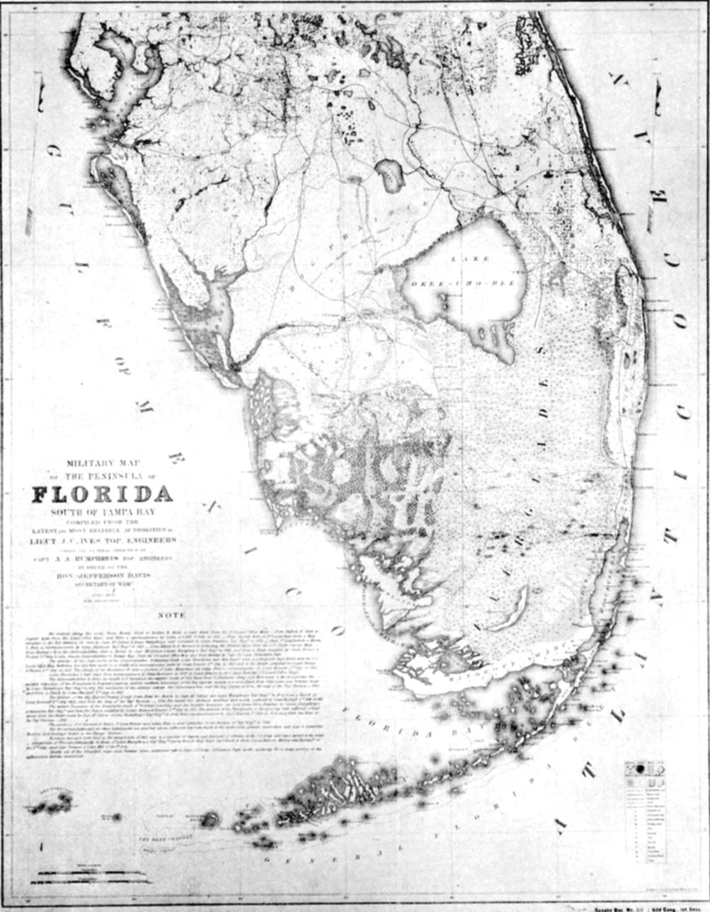
Image: US War Department Everglades Map 1856
Size of this preview: 467 × 600 pixels. Other resolutions: 187 × 240 pixels | 1,003 × 1,288 pixels.
Original image (1,003 × 1,288 pixels, file size: 178 KB, MIME type: image/jpeg)
Description: Map of the Everglades by US War Department, 1856
Title: US War Department Everglades Map 1856
Credit: Stephan, L. Lamar (December, 1942). "Geographic Role of the Everglades in the Early History of Florida", The Scientific Monthly, 55, (6) p. 515–526
Author: US War Department
Usage Terms: Public domain
License: Public domain
Attribution Required?: No
Image usage
The following page links to this image:

All content from Kiddle encyclopedia articles (including the article images and facts) can be freely used under Attribution-ShareAlike license, unless stated otherwise.