
Image: USSR Map timeline
Size of this preview: 800 × 557 pixels. Other resolutions: 320 × 223 pixels | 958 × 667 pixels.
Original image (958 × 667 pixels, file size: 7.5 MB, MIME type: image/gif, looped, 81 frames, 1 min 1 s)
Note: Due to technical limitations, thumbnails of high resolution GIF images such as this one will not be animated.
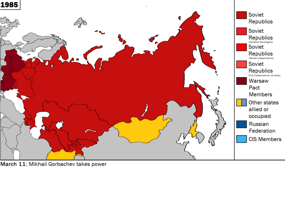
Description: The animated map of the Soviet Union showing the independent states and territorial changes in chronological order.
Title: USSR Map timeline
Credit: Own work
Author: FreshCorp619
Usage Terms: Creative Commons Attribution-Share Alike 4.0
License: CC BY-SA 4.0
License Link: https://creativecommons.org/licenses/by-sa/4.0
Attribution Required?: Yes
Image usage
The following page links to this image:

All content from Kiddle encyclopedia articles (including the article images and facts) can be freely used under Attribution-ShareAlike license, unless stated otherwise.