
Image: USGS Chicago 1902 Fig 13
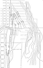
Size of this preview: 380 × 599 pixels. Other resolutions: 152 × 240 pixels | 1,005 × 1,584 pixels.
Original image (1,005 × 1,584 pixels, file size: 233 KB, MIME type: image/jpeg)
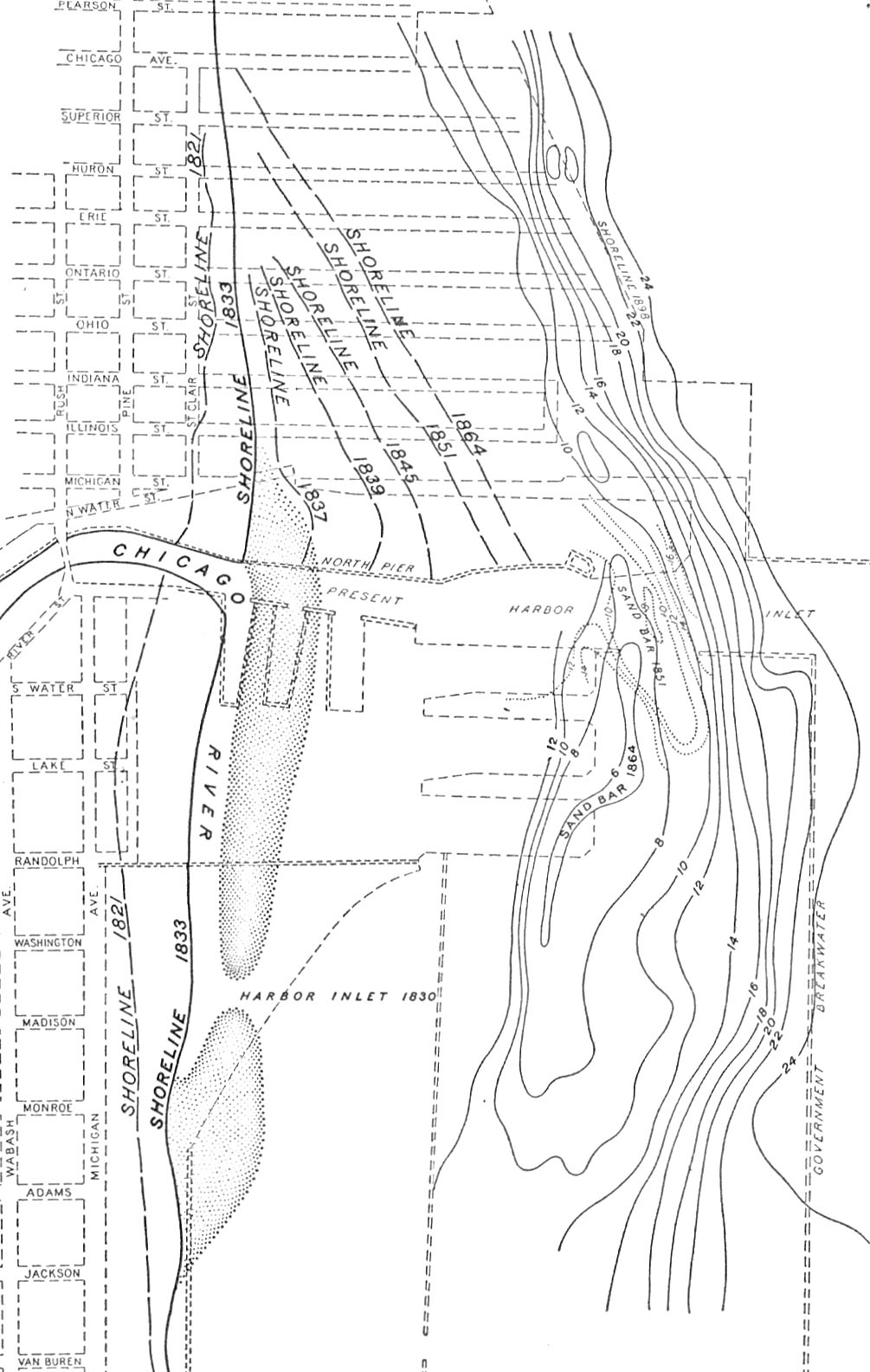
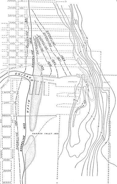
Description: Map of the lake front at Chicago showing the position of the shoreline in 1902 and at intervals from 1821 to 1864.
Title: USGS Chicago 1902 Fig 13
Credit: Geologic Atlas of the United States: Chicago Folio. This file cropped from a scan of the folio on the website of the Texas A&M University Libraries.[1]
Author: United States Geological Survey
Usage Terms: Public domain
License: Public domain
Attribution Required?: No
Image usage
The following page links to this image:

All content from Kiddle encyclopedia articles (including the article images and facts) can be freely used under Attribution-ShareAlike license, unless stated otherwise.