
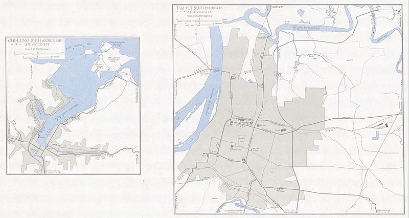
Image: Txu-oclc-6557994-index-458

Size of this preview: 800 × 426 pixels. Other resolutions: 320 × 170 pixels | 5,000 × 2,663 pixels.
Original image (5,000 × 2,663 pixels, file size: 1.96 MB, MIME type: image/jpeg)
Description: Tawian AMS Topographic Maps
Title: Txu-oclc-6557994-index-458
Credit: Courtesy of the University of Texas Libraries, The University of Texas at Austin. ([1])
Author: Army Map Service, Corps of Engineers
Usage Terms: Public domain
License: Public domain
Attribution Required?: No
Image usage
The following page links to this image:

All content from Kiddle encyclopedia articles (including the article images and facts) can be freely used under Attribution-ShareAlike license, unless stated otherwise.