
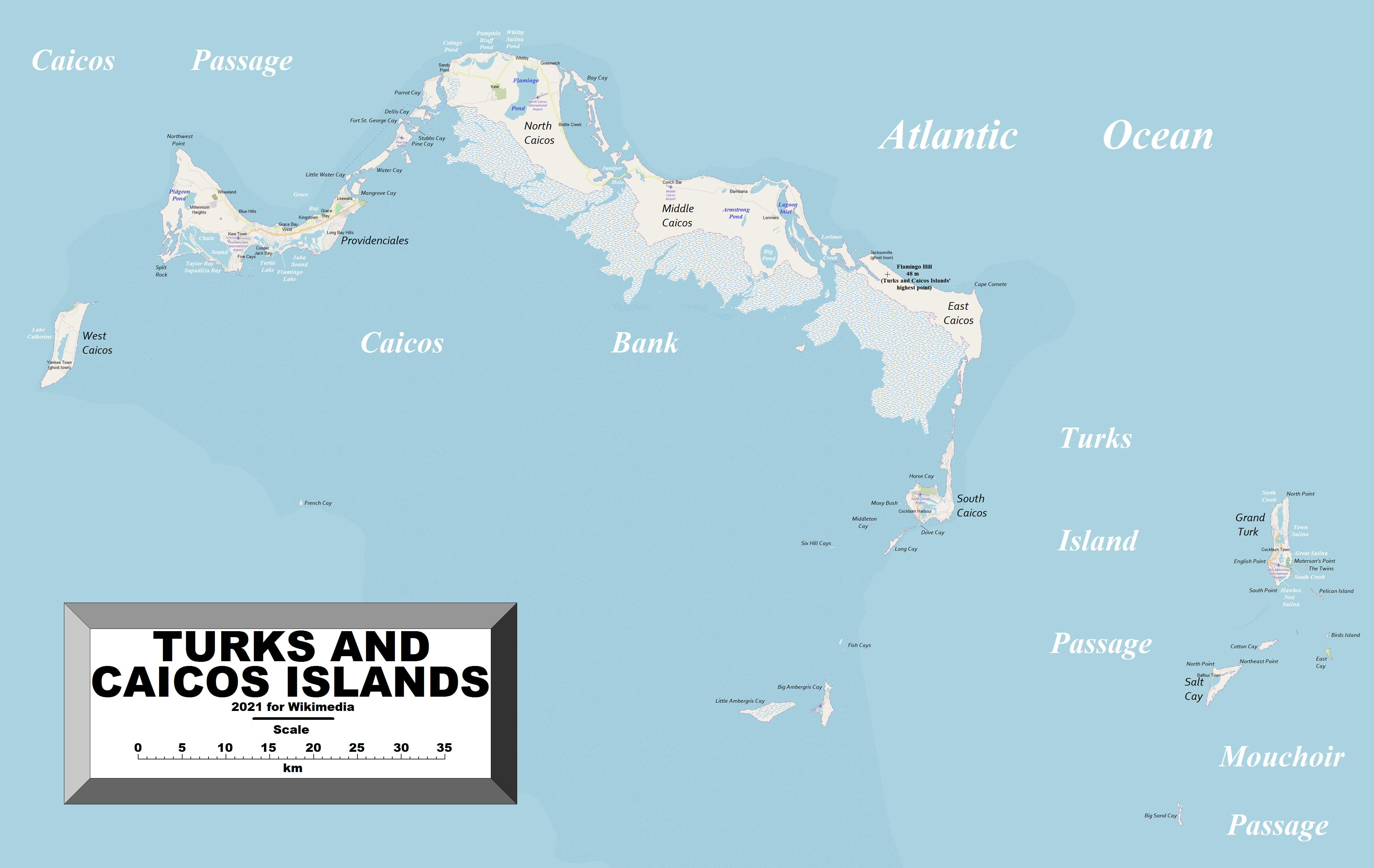
Image: TurksAndCaicosIslands2021OSM
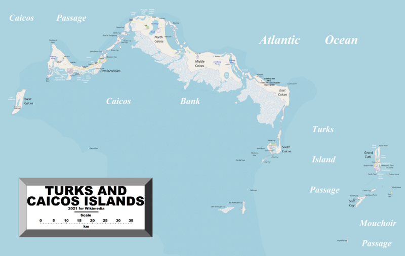
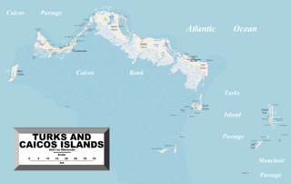
Size of this preview: 800 × 506 pixels. Other resolutions: 320 × 202 pixels | 4,336 × 2,741 pixels.
Original image (4,336 × 2,741 pixels, file size: 2.46 MB, MIME type: image/png)
Description: This map of the Turks and Caicos Islands shows the island group's towns, villages and some other geographical details, and is likely the most comprehensive map of the island group in this respect that you'll find anywhere online. It has been stitched together from panels of Open Street Map (which is freely licensed to all) with details plotted by the uploader.
Author: Kelisi
Usage Terms: Creative Commons Attribution-Share Alike 3.0
License: CC-BY-SA-3.0
License Link: http://creativecommons.org/licenses/by-sa/3.0/
Attribution Required?: Yes
Image usage
The following page links to this image:

All content from Kiddle encyclopedia articles (including the article images and facts) can be freely used under Attribution-ShareAlike license, unless stated otherwise.