
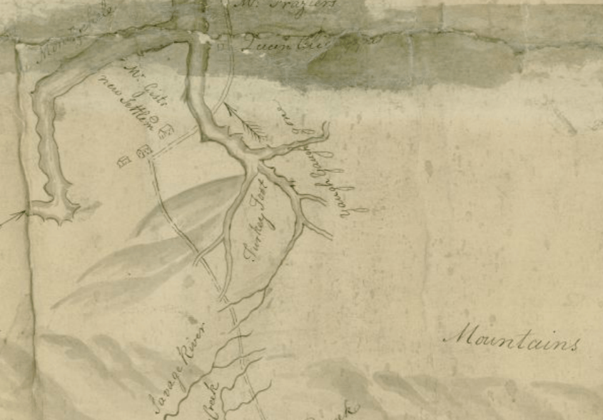
Image: Turkey Foot area map by G Washington
Size of this preview: 800 × 557 pixels. Other resolutions: 320 × 223 pixels | 845 × 588 pixels.
Original image (845 × 588 pixels, file size: 283 KB, MIME type: image/png)
Description: A handrawn map of the Somerset region by George Washington from (DARMAP0214) http://images.library.pitt.edu/cgi-bin/i/image/image-idx?c=darlmaps;rgn1=darlmaps_su;med=1;q1=Allegheny%20County%20%20Pa.;back=back1497003769;size=20;subview=detail;resnum=1;view=entry;lastview=thumbnail;cc=darlmaps;entryid=x-darmap0214;viewid=DARMAP0214.TIF
Title: Turkey Foot area map by G Washington
Credit: Darlington Collection, Archives Service Center, Unversity Library System, University of Pittsburgh.
Author: George Washington for Christopher Gist
Usage Terms: Public domain
License: Public domain
Attribution Required?: No
Image usage
The following page links to this image:

All content from Kiddle encyclopedia articles (including the article images and facts) can be freely used under Attribution-ShareAlike license, unless stated otherwise.