Image: TuiraRiver fromONCSeries-USDefenseMappingAgency1981-84revisioncomposite

Size of this preview: 800 × 596 pixels. Other resolutions: 320 × 238 pixels | 1,004 × 748 pixels.
Original image (1,004 × 748 pixels, file size: 404 KB, MIME type: image/jpeg)
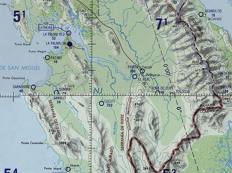
Description: US Defense Mapping Agency Map excerpt showing Tuira River in Panama, Latin America - Operational Navigation Chart Series, 1:1,000,000 Scale. This file is a composite of excerpts from maps K-26 (Compiled October 1969, Revised August 1984) and L-26 (Compiled May 1966, Revised October 1981), since the river runs over the two maps.
Title: TuiraRiver fromONCSeries-USDefenseMappingAgency1981-84revisioncomposite
Credit: US Defense Mapping Agency Maps in Perry-Castañeda Library Map Collection https://maps.lib.utexas.edu/maps/onc/latin_america.html
Author: US Defense Mapping Agency
Usage Terms: Public domain
License: Public domain
Attribution Required?: No
Image usage
The following 3 pages link to this image:

All content from Kiddle encyclopedia articles (including the article images and facts) can be freely used under Attribution-ShareAlike license, unless stated otherwise.
