
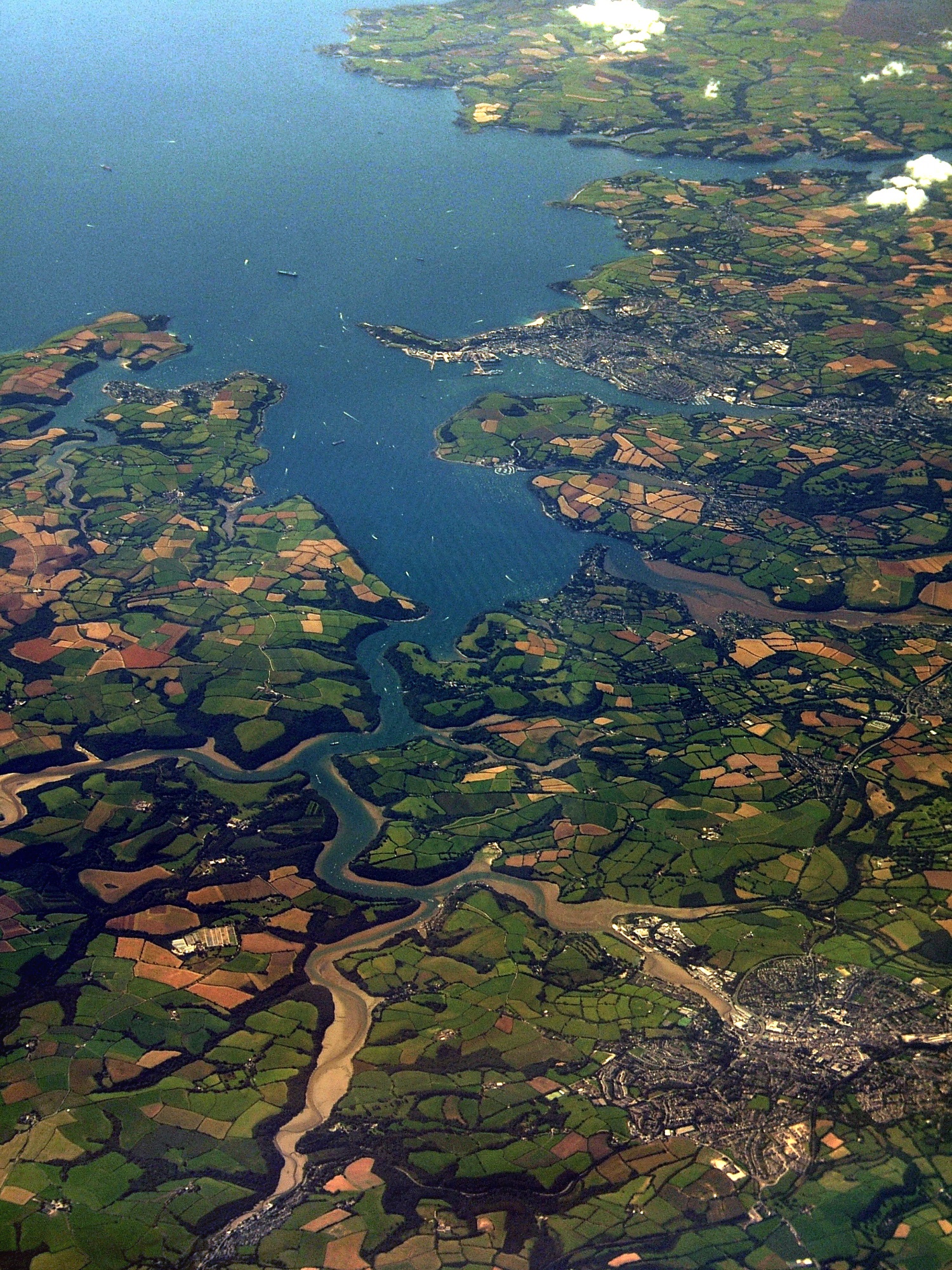
Image: TruroFalmouthAerial
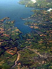
Size of this preview: 450 × 600 pixels. Other resolutions: 180 × 240 pixels | 1,500 × 2,000 pixels.
Original image (1,500 × 2,000 pixels, file size: 1.6 MB, MIME type: image/jpeg)
Description: An aerial photo of Carrick Roads. Falmouth is at the mouth of the estuary, and Truro is in the bottom-right of the image. See map. [?]
Title: TruroFalmouthAerial
Credit: South Cornish coast
Author: Jessica from Hove, United Kingdom
Usage Terms: Creative Commons Attribution 2.0
License: CC BY 2.0
License Link: https://creativecommons.org/licenses/by/2.0
Attribution Required?: Yes
Image usage
The following 2 pages link to this image:

All content from Kiddle encyclopedia articles (including the article images and facts) can be freely used under Attribution-ShareAlike license, unless stated otherwise.