
Image: Tros Crater, Ganymede - PJ34-1 - Detail - Map Projected
Size of this preview: 572 × 600 pixels. Other resolutions: 229 × 240 pixels | 1,175 × 1,232 pixels.
Original image (1,175 × 1,232 pixels, file size: 1.32 MB, MIME type: image/png)
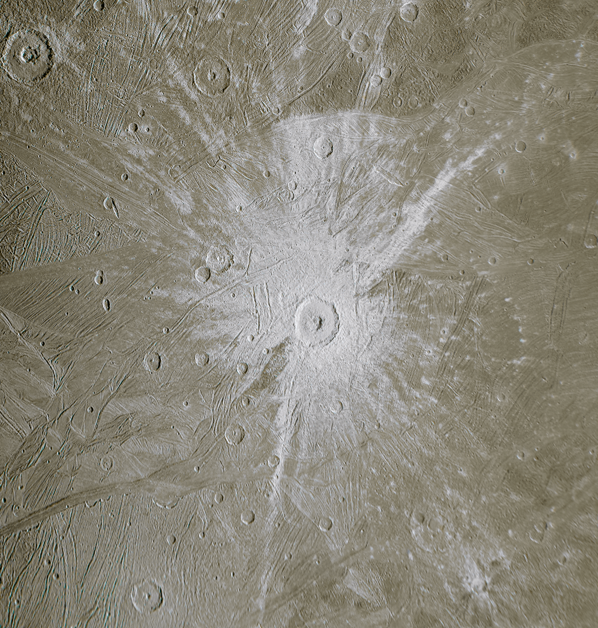
Description: JNCE_2021158_34C00001_V01 Cylindrical map projected view of the ~90km-wide Tros Crater on Ganymede, taken by Juno spacecraft on Perijove 34. [1][2]
Title: Tros Crater, Ganymede - PJ34-1 - Detail - Map Projected
Credit: Tros Crater, Ganymede - PJ34-1 - Detail - Map Projected
Author: NASA/JPL-Caltech/SwRI/MSSS/Kevin M. Gill
Usage Terms: Creative Commons Attribution 2.0
License: CC BY 2.0
License Link: https://creativecommons.org/licenses/by/2.0
Attribution Required?: Yes
Image usage
The following page links to this image:

All content from Kiddle encyclopedia articles (including the article images and facts) can be freely used under Attribution-ShareAlike license, unless stated otherwise.