
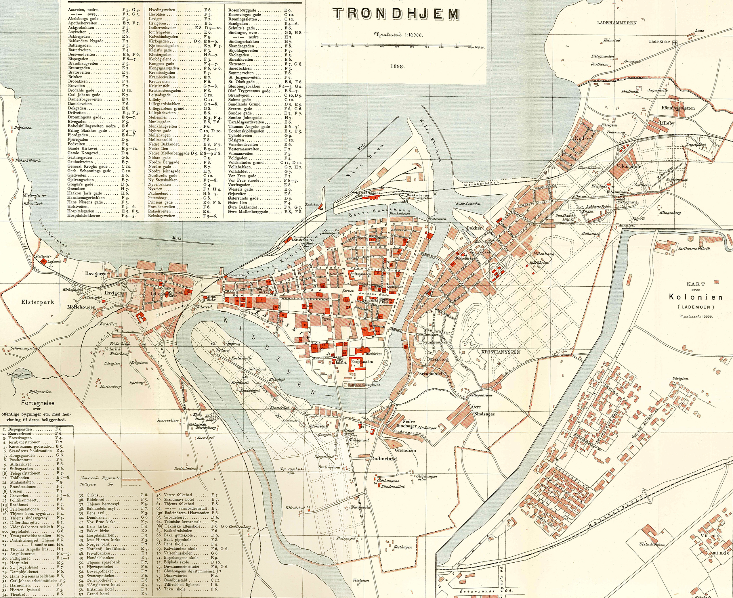
Image: Trondheim map 1898
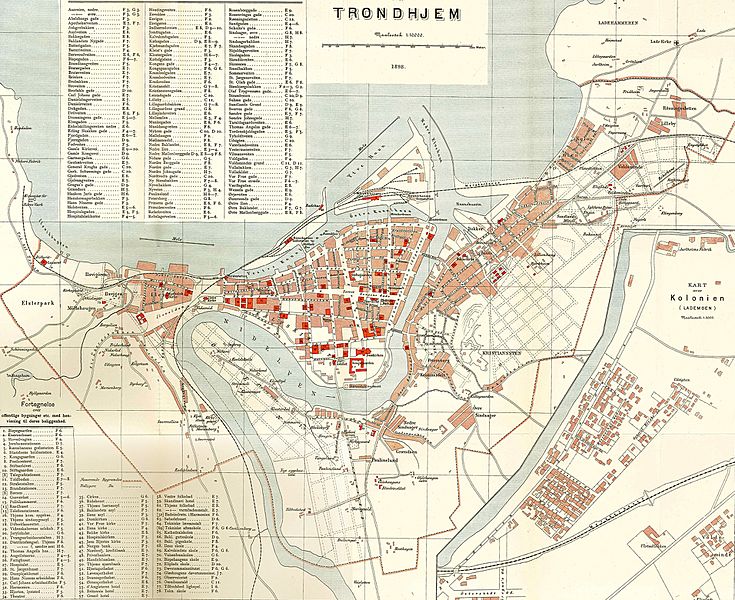
Size of this preview: 735 × 600 pixels. Other resolutions: 294 × 240 pixels | 2,548 × 2,080 pixels.
Original image (2,548 × 2,080 pixels, file size: 4.66 MB, MIME type: image/jpeg)
Description: Trondheim city map, 1898. Kart over Lademoen innfelt.
Title: Trondheim map 1898
Credit: Topografisk-statistisk Beskrivelse over Søndre Trondhjems Amt
Author: Den private Opmaalings lith. Anstalt, Kristiania
Usage Terms: Public domain
License: Public domain
Attribution Required?: No
Image usage
The following page links to this image:

All content from Kiddle encyclopedia articles (including the article images and facts) can be freely used under Attribution-ShareAlike license, unless stated otherwise.